Staroaleyskoye night lights from space
Night Light of Staroaleyskoye (Altai Krai) from space (Russia) Src. Average luminocity for 10x10km area is 0% and for 50x50km: 0.1927%.
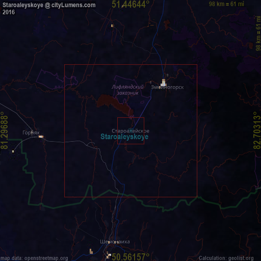
Analysis of Staroaleyskoye night lights 2016
Square area 10x10 km:
 0%
0%90-99
0%80-89
0%70-79
0%60-69
0%50-59
0%40-49
0%30-39
0%20-29
0%10-19
0%0-9
100%Square area 50x50 km:
0.04%90-99
0.03%80-89
0.04%70-79
0%60-69
0.02%50-59
0.04%40-49
0.01%30-39
0.01%20-29
0.03%10-19
0.02%0-9
99.76%Clear (daylight) street map image can be seen on geolist.org.
Map coordinates:
51° 26' 47.2" North, 81° 17' 48.8" East
51° 0' 22" North, 82° 0' 0" East
50° 33' 41.7" North, 82° 42' 11.3" East
Some cities around Staroaleyskoye sort by population:
• Rubtsovsk
79.1 km =49.2 mi,  315°
315°
• Shemonaīkha, KZ
42.5 km =26.4 mi,  188°
188°
• Gornyak
37.4 km =23.2 mi,  267°
267°
• Zmeinogorsk
21.7 km =13.5 mi,  38°
38°
• Zhezkent, KZ
45.5 km =28.3 mi,  259°
259°
• Ūst’-Talovka, KZ
51.9 km =32.2 mi, 191°
• Borodulikha, KZ
81.7 km =50.8 mi,  246°
246°
• Veseloyarsk
69.7 km =43.3 mi,  296°
296°
1491006 (p: 5,037)
Sources (retrieved 2019-11-25):
» Earth at Night: Flat Maps 2012, 2016