Pospelikha night lights from space
Night Light of Pospelikha (Altai Krai) from space (Russia) Src. Average luminocity for 10x10km area is 0.9798% and for 50x50km: 0.0418%.
Analysis of Pospelikha night lights 2016
Square area 10x10 km:
 0.38%
0.38%90-99
0.13%80-89
0%70-79
0%60-69
0%50-59
0%40-49
0.51%30-39
0.51%20-29
0%10-19
0.51%0-9
97.98%Square area 50x50 km:
0.02%90-99
0.01%80-89
0%70-79
0%60-69
0%50-59
0%40-49
0.02%30-39
0.02%20-29
0%10-19
0.02%0-9
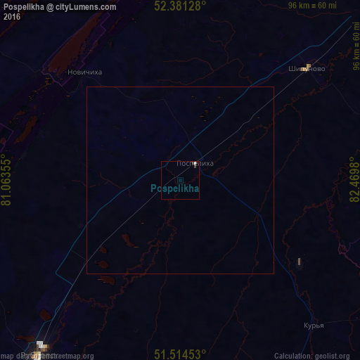
99.92%Clear (daylight) street map image can be seen on geolist.org.
Map coordinates:
52° 22' 52.6" North, 81° 3' 48.8" East
51° 57' 0" North, 81° 46' 0" East
51° 30' 52.3" North, 82° 28' 11.3" East
Some cities around Pospelikha sort by population:
• Rubtsovsk
61.9 km =38.5 mi,  218°
218°
• Aleysk
91.8 km =57 mi,  48°
48°
• Zmeinogorsk
92.9 km =57.7 mi,  161°
161°
• Shipunovo
45.3 km =28.1 mi, 49°
• Mamontovo
84.6 km =52.6 mi,  353°
353°
• Romanovo
82.9 km =51.5 mi,  333°
333°
• Krasnoshchekovo
73.1 km =45.4 mi,  115°
115°
• Veseloyarsk
86.6 km =53.8 mi,  211°
211°
1494331 (p: 13,586)
Sources (retrieved 2019-11-25):
» Earth at Night: Flat Maps 2012, 2016