Ust’-Charyshskaya Pristan’ night lights from space
Night Light of Ust’-Charyshskaya Pristan’ (Altai Krai) from space (Russia) Src. Average luminocity for 10x10km area is 0% and for 50x50km: 0%.
Analysis of Ust’-Charyshskaya Pristan’ night lights 2016
Square area 10x10 km:
 0%
0%90-99
0%80-89
0%70-79
0%60-69
0%50-59
0%40-49
0%30-39
0%20-29
0%10-19
0%0-9
100%Square area 50x50 km:
0%90-99
0%80-89
0%70-79
0%60-69
0%50-59
0%40-49
0%30-39
0%20-29
0%10-19
0%0-9
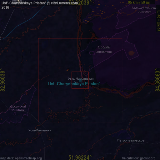
100%Clear (daylight) street map image can be seen on geolist.org.
Map coordinates:
52° 49' 13.4" North, 82° 57' 37.4" East
52° 23' 36.2" North, 83° 39' 48.6" East
51° 57' 44.1" North, 84° 21' 59.9" East
Some cities around Ust’-Charyshskaya Pristan’ sort by population:
• Aleysk
60.7 km =37.7 mi,  280°
280°
• Yuzhnyy
95.7 km =59.5 mi,  1°
1°
• Shipunovo
96.9 km =60.2 mi,  258°
258°
• Troitskoye
94.8 km =58.9 mi,  46°
46°
• Smolenskoye
96.6 km =60 mi,  95°
95°
• Topchikha
60 km =37.3 mi,  322°
322°
• Ust’-Kalmanka
38.9 km =24.2 mi,  218°
218°
• Nagornyy
45.4 km =28.2 mi,  350°
350°
1488235 (p: 5,647)
Sources (retrieved 2019-11-25):
» Earth at Night: Flat Maps 2012, 2016