Chernyanka night lights from space
Night Light of Chernyanka (Belgorod Oblast) from space (Russia) Src. Average luminocity for 10x10km area is 4.2787% and for 50x50km: 0.7574%.
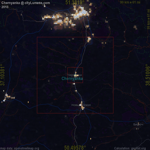
Analysis of Chernyanka night lights 2016
Square area 10x10 km:
 0%
0%90-99
0%80-89
0.14%70-79
2.1%60-69
0%50-59
1.12%40-49
1.68%30-39
1.12%20-29
0%10-19
0.56%0-9
93.28%Square area 50x50 km:
0.04%90-99
0.1%80-89
0.12%70-79
0.12%60-69
0.09%50-59
0.17%40-49
0.18%30-39
0.12%20-29
0.1%10-19
0.13%0-9
98.85%Clear (daylight) street map image can be seen on geolist.org.
Map coordinates:
51° 22' 54.8" North, 37° 6' 13.7" East
50° 56' 27.4" North, 37° 48' 24.9" East
50° 29' 44.8" North, 38° 30' 36.2" East
Some cities around Chernyanka sort by population:
• Staryy Oskol
39.6 km =24.6 mi,  3°
3°
• Gubkin
42 km =26.1 mi,  334°
334°
• Rossosh’
53.2 km =33.1 mi,  67°
67°
• Novyy Oskol
20.2 km =12.6 mi,  168°
168°
• Volokonovka
51.1 km =31.8 mi,  176°
176°
• Krasnogvardeyskoye
53 km =32.9 mi,  127°
127°
• Troitskiy
50.4 km =31.3 mi,  337°
337°
• Korocha
45.8 km =28.5 mi,  251°
251°
568587 (p: 15,261)
Sources (retrieved 2019-11-25):
» Earth at Night: Flat Maps 2012, 2016