Gorelovo night lights from space
Night Light of Gorelovo (St.-Petersburg) from space (Russia) Src. Average luminocity for 10x10km area is 65.5227% and for 50x50km: 41.0135%.
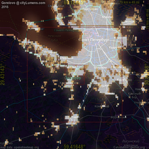
Analysis of Gorelovo night lights 2016
Square area 10x10 km:
 22.4%
22.4%90-99
20.56%80-89
5.41%70-79
5.3%60-69
3.03%50-59
1.08%40-49
3.79%30-39
16.99%20-29
15.04%10-19
6.39%0-9
0%Square area 50x50 km:
20.66%90-99
8.23%80-89
2.34%70-79
2.67%60-69
1.6%50-59
2.23%40-49
1.31%30-39
3.66%20-29
8.3%10-19
10.73%0-9
38.27%Clear (daylight) street map image can be seen on geolist.org.
Map coordinates:
60° 7' 28" North, 29° 25' 53.1" East
59° 46' 20.4" North, 30° 8' 4.4" East
59° 24' 59.3" North, 30° 50' 15.6" East
Some cities around Gorelovo sort by population:
• Dachnoye
10.3 km =6.4 mi,  41°
41°
• Uritsk
7.7 km =4.8 mi,  17°
17°
• Sosnovaya Polyana
7 km =4.3 mi,  5°
5°
• Avtovo
13.3 km =8.3 mi,  33°
33°
• Krasnoye Selo
4.5 km =2.8 mi,  213°
213°
• Strel'na
10.4 km =6.5 mi,  328°
328°
• Ol’gino
13.9 km =8.6 mi,  301°
301°
• Gorbunki
9.5 km =5.9 mi, 298°
560142 (p: 22,503)
Sources (retrieved 2019-11-25):
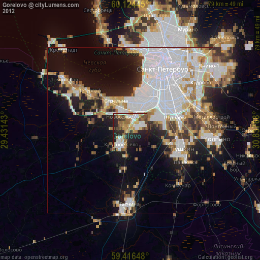
» Earth at Night: Flat Maps 2012, 2016