Uritsk night lights from space
Night Light of Uritsk (St.-Petersburg) from space (Russia) Src. Average luminocity for 10x10km area is 86.7345% and for 50x50km: 48.8381%.
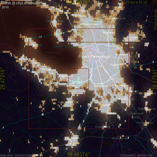
Analysis of Uritsk night lights 2016
Square area 10x10 km:
 50.93%
90-99
22.62%80-89
2.89%70-79
5.27%60-69
2.07%50-59
3.1%40-49
2.89%30-39
4.55%20-29
5.27%10-19
0.41%0-9
0%Square area 50x50 km:
24.16%90-99
10.3%80-89
3.19%70-79
3.26%60-69
1.93%50-59
2.35%40-49
1.78%30-39
4.62%20-29
9.11%10-19
12.06%0-9
27.23%Clear (daylight) street map image can be seen on geolist.org.
Map coordinates:
60° 11' 25" North, 29° 28' 19.8" East
59° 50' 20" North, 30° 10' 31" East
59° 29' 1.5" North, 30° 52' 42.3" East
Some cities around Uritsk sort by population:
• Admiralteisky
9.9 km =6.2 mi,  38°
38°
• Dachnoye
4.5 km =2.8 mi,  86°
86°
• Kupchino
10.2 km =6.3 mi,  81°
81°
• Sosnovaya Polyana
1.6 km =1 mi,  255°
255°
• Avtovo
6.2 km =3.9 mi,  54°
54°
• Gorelovo
7.7 km =4.8 mi,  197°
197°
• Strel'na
7.9 km =4.9 mi,  280°
280°
• Gorbunki
11 km =6.8 mi,  254°
254°
478724 (p: 55,037)
Sources (retrieved 2019-11-25):
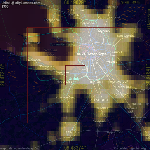
» NASA, Earths city lights 1995
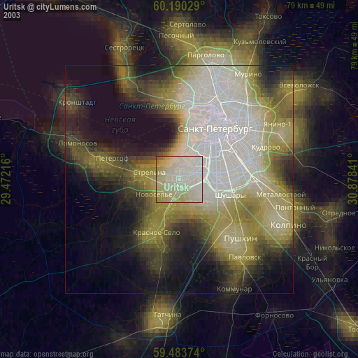
» NASA city lights 2003
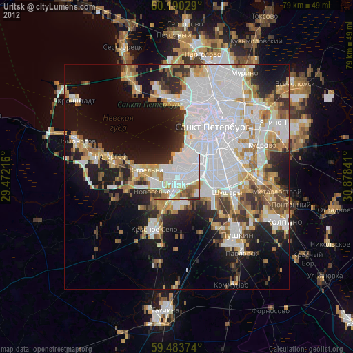
» Earth at Night: Flat Maps 2012, 2016