Gavrilov-Yam night lights from space
Night Light of Gavrilov-Yam (Jaroslavl) from space (Russia) Src. Average luminocity for 10x10km area is 0.067% and for 50x50km: 0.8995%.
Analysis of Gavrilov-Yam night lights 2016
Square area 10x10 km:
 0%
0%90-99
0%80-89
0%70-79
0%60-69
0%50-59
0%40-49
0%30-39
0%20-29
0%10-19
0.45%0-9
99.55%Square area 50x50 km:
0.01%90-99
0.02%80-89
0.06%70-79
0.13%60-69
0.11%50-59
0.06%40-49
0.15%30-39
0.12%20-29
0.57%10-19
1.4%0-9
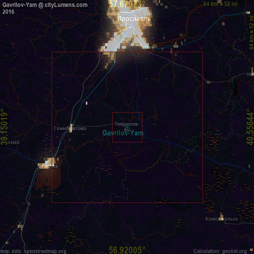
97.35%Clear (daylight) street map image can be seen on geolist.org.
Map coordinates:
57° 40' 47" North, 39° 9' 0.7" East
57° 18' 6.7" North, 39° 51' 11.9" East
56° 55' 12.2" North, 40° 33' 23.2" East
Some cities around Gavrilov-Yam sort by population:
• Yaroslavl
36.5 km =22.7 mi,  1°
1°
• Rostov
29.1 km =18.1 mi,  245°
245°
• Nerekhta
46.6 km =29 mi,  68°
68°
• Komsomol’sk
43.6 km =27.1 mi,  134°
134°
• Semibratovo
19 km =11.8 mi,  270°
270°
• Nekrasovskoye
51.7 km =32.1 mi,  36°
36°
• Borisoglebskiy
42.5 km =26.4 mi,  263°
263°
• Petrovsk
47.9 km =29.8 mi,  227°
227°
561762 (p: 17,351)
Sources (retrieved 2019-11-25):
» Earth at Night: Flat Maps 2012, 2016