Rostov night lights from space
Night Light of Rostov (Jaroslavl) from space (Russia) Src. Average luminocity for 10x10km area is 14.8905% and for 50x50km: 0.7585%.
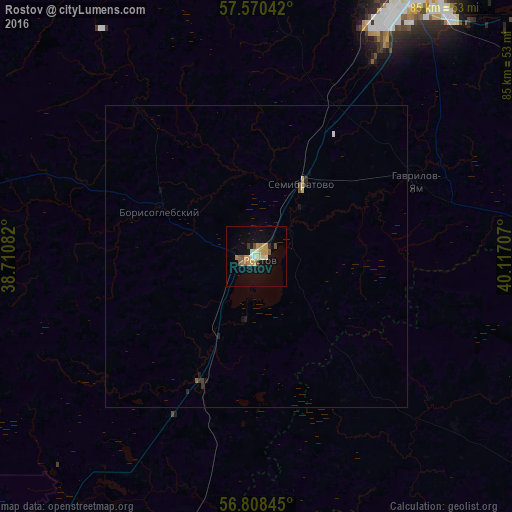
Analysis of Rostov night lights 2016
Square area 10x10 km:
 0.95%
0.95%90-99
1.55%80-89
1.79%70-79
4.88%60-69
2.14%50-59
2.14%40-49
1.31%30-39
0.48%20-29
0.48%10-19
9.52%0-9
74.76%Square area 50x50 km:
0.05%90-99
0.06%80-89
0.11%70-79
0.21%60-69
0.09%50-59
0.1%40-49
0.1%30-39
0.06%20-29
0.1%10-19
0.47%0-9
98.66%Clear (daylight) street map image can be seen on geolist.org.
Map coordinates:
57° 34' 13.5" North, 38° 42' 39" East
57° 11' 29" North, 39° 24' 50.2" East
56° 48' 30.4" North, 40° 7' 1.5" East
Some cities around Rostov sort by population:
• Yaroslavl
56 km =34.8 mi,  29°
29°
• Pereslavl’-Zalesskiy
60.6 km =37.7 mi,  213°
213°
• Gavrilov-Yam
29.1 km =18.1 mi,  65°
65°
• Komsomol’sk
60.6 km =37.7 mi,  107°
107°
• Semibratovo
14.6 km =9.1 mi, 30°
• Borisoglebskiy
17.5 km =10.9 mi,  295°
295°
• Konstantinovskiy
71.8 km =44.6 mi,  8°
8°
• Petrovsk
21.9 km =13.6 mi,  203°
203°
501183 (p: 31,039)
Sources (retrieved 2019-11-25):
» Earth at Night: Flat Maps 2012, 2016