Aktanysh night lights from space
Night Light of Aktanysh (Tatarstan Republic) from space (Russia) Src. Average luminocity for 10x10km area is 0% and for 50x50km: 0.1392%.
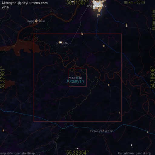
Analysis of Aktanysh night lights 2016
Square area 10x10 km:
 0%
0%90-99
0%80-89
0%70-79
0%60-69
0%50-59
0%40-49
0%30-39
0%20-29
0%10-19
0%0-9
100%Square area 50x50 km:
0.02%90-99
0.02%80-89
0.02%70-79
0.02%60-69
0.04%50-59
0.02%40-49
0.01%30-39
0.05%20-29
0%10-19
0%0-9
99.81%Clear (daylight) street map image can be seen on geolist.org.
Map coordinates:
56° 6' 56.1" North, 53° 22' 47.3" East
55° 43' 17.6" North, 54° 4' 58.5" East
55° 19' 24.7" North, 54° 47' 9.8" East
Some cities around Aktanysh sort by population:
• Neftekamsk
42.7 km =26.5 mi,  15°
15°
• Dyurtyuli
55.6 km =34.5 mi,  117°
117°
• Agidel’
22.7 km =14.1 mi,  336°
336°
• Menzelinsk
61.4 km =38.2 mi,  270°
270°
• Kambarka
61.1 km =38 mi,  7°
7°
• Verkhneyarkeyevo
33.5 km =20.8 mi,  154°
154°
• Nikolo-Berëzovka
45 km =28 mi, 5°
• Karakulino
39.9 km =24.8 mi,  323°
323°
583578 (p: 8,163)
Sources (retrieved 2019-11-25):
» Earth at Night: Flat Maps 2012, 2016