Krasnokholmskiy night lights from space
Night Light of Krasnokholmskiy (Bashkortostan Republic) from space (Russia) Src. Average luminocity for 10x10km area is 0% and for 50x50km: 0.0814%.
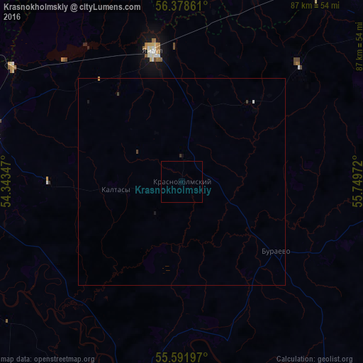
Analysis of Krasnokholmskiy night lights 2016
Square area 10x10 km:
 0%
0%90-99
0%80-89
0%70-79
0%60-69
0%50-59
0%40-49
0%30-39
0%20-29
0%10-19
0%0-9
100%Square area 50x50 km:
0.01%90-99
0.01%80-89
0%70-79
0.02%60-69
0%50-59
0%40-49
0.02%30-39
0.05%20-29
0%10-19
0.06%0-9
99.83%Clear (daylight) street map image can be seen on geolist.org.
Map coordinates:
56° 22' 43" North, 54° 20' 36.5" East
55° 59' 14.2" North, 55° 2' 47.7" East
55° 35' 31.1" North, 55° 44' 59" East
Some cities around Krasnokholmskiy sort by population:
• Neftekamsk
49.9 km =31 mi,  283°
283°
• Dyurtyuli
56.3 km =35 mi,  191°
191°
• Yanaul
32.8 km =20.4 mi,  347°
347°
• Kuyeda
59.7 km =37.1 mi,  34°
34°
• Burayevo
27.8 km =17.3 mi,  125°
125°
• Verkhniye Tatyshly
60.5 km =37.6 mi,  56°
56°
• Nikolo-Berëzovka
57.4 km =35.7 mi,  285°
285°
• Starobaltachevo
54.8 km =34.1 mi,  88°
88°
542965 (p: 8,117)
Sources (retrieved 2019-11-25):
» Earth at Night: Flat Maps 2012, 2016