Kandry night lights from space
Night Light of Kandry (Bashkortostan Republic) from space (Russia) Src. Average luminocity for 10x10km area is 3.6938% and for 50x50km: 1.395%.
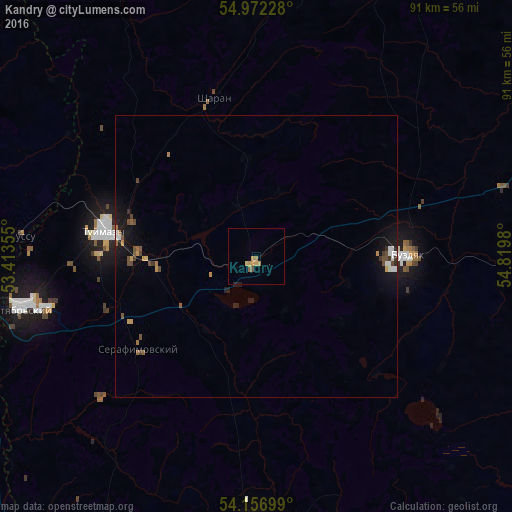
Analysis of Kandry night lights 2016
Square area 10x10 km:
 0%
0%90-99
0%80-89
0.72%70-79
1.67%60-69
0.96%50-59
0.48%40-49
0.48%30-39
0%20-29
0.48%10-19
0.24%0-9
94.98%Square area 50x50 km:
0.16%90-99
0.12%80-89
0.04%70-79
0.27%60-69
0.17%50-59
0.17%40-49
0.37%30-39
0.15%20-29
0.16%10-19
1.3%0-9
97.07%Clear (daylight) street map image can be seen on geolist.org.
Map coordinates:
54° 58' 20.2" North, 53° 24' 48.8" East
54° 34' 0" North, 54° 7' 0" East
54° 9' 25.2" North, 54° 49' 11.3" East
Some cities around Kandry sort by population:
• Oktyabr’skiy
42.7 km =26.5 mi,  257°
257°
• Tuymazy
26.6 km =16.5 mi,  279°
279°
• Belebey
50 km =31.1 mi,  180°
180°
• Urussu
42.3 km =26.3 mi,  274°
274°
• Serafimovskiy
26.1 km =16.2 mi,  232°
232°
• Buzdyak
28 km =17.4 mi,  86°
86°
• Subkhankulovo
19.7 km =12.2 mi, 267°
• Sharan
28.8 km =17.9 mi,  344°
344°
553169 (p: 12,100)
Sources (retrieved 2019-11-25):
» Earth at Night: Flat Maps 2012, 2016