Admiralteisky night lights from space
Night Light of Admiralteisky (St.-Petersburg) from space (Russia) Src. Average luminocity for 10x10km area is 97.0574% and for 50x50km: 54.8256%.
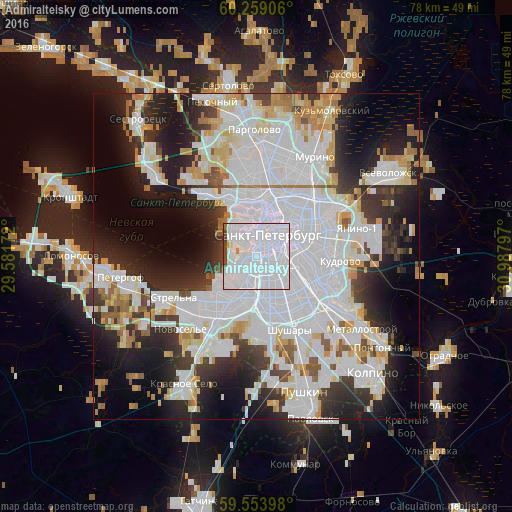
Analysis of Admiralteisky night lights 2016
Square area 10x10 km:
 84.52%
90-99
9.42%80-89
0.43%70-79
0.87%60-69
0.65%50-59
0.54%40-49
3.03%30-39
0.54%20-29
0%10-19
0%0-9
0%Square area 50x50 km:
25.39%90-99
12.07%80-89
4.22%70-79
4.12%60-69
2.89%50-59
2.69%40-49
2.48%30-39
5.29%20-29
9.96%10-19
12.43%0-9
18.46%Clear (daylight) street map image can be seen on geolist.org.
Map coordinates:
60° 15' 32.6" North, 29° 34' 54.2" East
59° 54' 30.2" North, 30° 17' 5.4" East
59° 33' 14.3" North, 30° 59' 16.7" East
Some cities around Admiralteisky sort by population:
• Saint Petersburg
3.7 km =2.3 mi,  25°
25°
• Centralniy
4.9 km =3 mi,  59°
59°
• Vasyl'evsky Ostrov
4 km =2.5 mi,  334°
334°
• Petrogradka
6.5 km =4 mi,  13°
13°
• Dachnoye
7.6 km =4.7 mi,  192°
192°
• Kupchino
7.4 km =4.6 mi,  147°
147°
• Avtovo
4.2 km =2.6 mi, 194°
• Krestovskiy ostrov
7.1 km =4.4 mi,  347°
347°
8504953 (p: 157,897)
Sources (retrieved 2019-11-25):
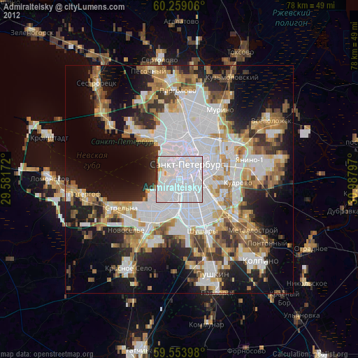
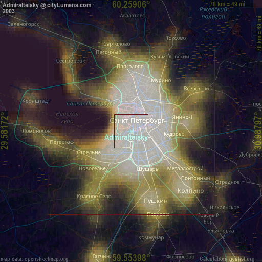
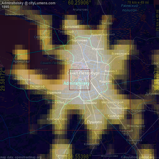
» NASA, Earths city lights 1995
» NASA city lights 2003
» Earth at Night: Flat Maps 2012, 2016