Bakaly night lights from space
Night Light of Bakaly (Bashkortostan Republic) from space (Russia) Src. Average luminocity for 10x10km area is 0% and for 50x50km: 0.028%.
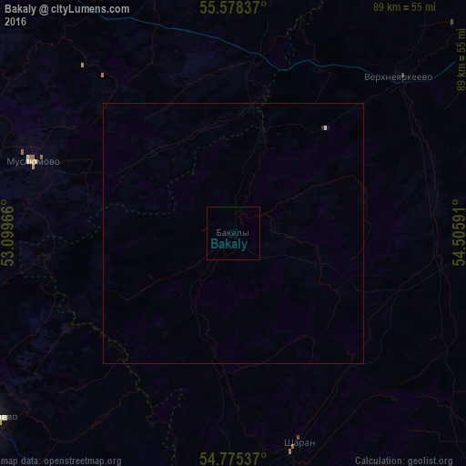
Analysis of Bakaly night lights 2016
Square area 10x10 km:
 0%
0%90-99
0%80-89
0%70-79
0%60-69
0%50-59
0%40-49
0%30-39
0%20-29
0%10-19
0%0-9
100%Square area 50x50 km:
0.01%90-99
0%80-89
0%70-79
0%60-69
0%50-59
0%40-49
0%30-39
0%20-29
0.02%10-19
0.02%0-9
99.94%Clear (daylight) street map image can be seen on geolist.org.
Map coordinates:
55° 34' 42.1" North, 53° 5' 58.8" East
55° 10' 44" North, 53° 48' 10" East
54° 46' 31.3" North, 54° 30' 21.3" East
Some cities around Bakaly sort by population:
• Tuymazy
63.9 km =39.7 mi,  185°
185°
• Urussu
68.1 km =42.3 mi,  198°
198°
• Chekmagush
54.4 km =33.8 mi,  95°
95°
• Verkhneyarkeyevo
44.3 km =27.5 mi,  47°
47°
• Aktanysh
62.9 km =39.1 mi,  16°
16°
• Muslyumovo
41 km =25.5 mi,  289°
289°
• Subkhankulovo
69.1 km =42.9 mi,  179°
179°
• Sharan
42.2 km =26.2 mi,  162°
162°
579728 (p: 9,532)
Sources (retrieved 2019-11-25):
» Earth at Night: Flat Maps 2012, 2016