Beloyarskiy night lights from space
Night Light of Beloyarskiy (Khanty-Mansia) from space (Russia) Src. Average luminocity for 10x10km area is 16.4335% and for 50x50km: 0.6838%.
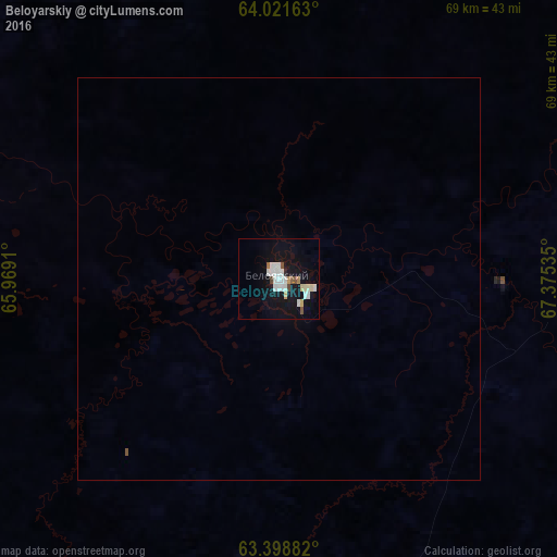
Analysis of Beloyarskiy night lights 2016
Square area 10x10 km:
 3.97%
3.97%90-99
4.37%80-89
1.49%70-79
0.89%60-69
0.5%50-59
1.29%40-49
1.39%30-39
0%20-29
0.4%10-19
17.86%0-9
67.86%Square area 50x50 km:
0.15%90-99
0.17%80-89
0.06%70-79
0.03%60-69
0.02%50-59
0.07%40-49
0.05%30-39
0%20-29
0.02%10-19
0.69%0-9
98.74%Clear (daylight) street map image can be seen on geolist.org.
Map coordinates:
64° 1' 17.9" North, 65° 58' 8.8" East
63° 42' 43" North, 66° 40' 20" East
63° 23' 55.8" North, 67° 22' 31.3" East
Some cities around Beloyarskiy sort by population:
• Nyagan
186.3 km =115.8 mi,  200°
200°
• Salekhard
313.4 km =194.7 mi,  359°
359°
• Yugorsk
317.1 km =197 mi,  212°
212°
• Sovetskiy
305.5 km =189.8 mi, 211°
• Nizhnesortymskiy
292.5 km =181.8 mi,  118°
118°
• Igrim
126.2 km =78.4 mi,  242°
242°
• Priob’ye
143.1 km =88.9 mi, 202°
• Berëzovo
83.8 km =52.1 mi,  287°
287°
1510450 (p: 20,087)
Sources (retrieved 2019-11-25):
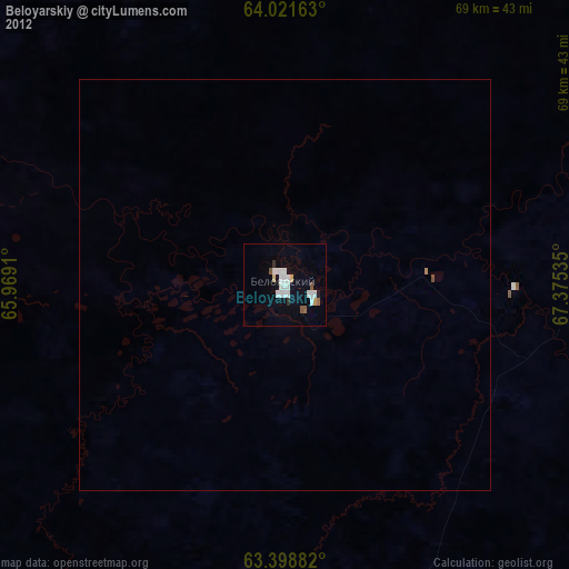
» Earth at Night: Flat Maps 2012, 2016