Sovetskiy night lights from space
Night Light of Sovetskiy (Khanty-Mansia) from space (Russia) Src. Average luminocity for 10x10km area is 24.3775% and for 50x50km: 2.4124%.
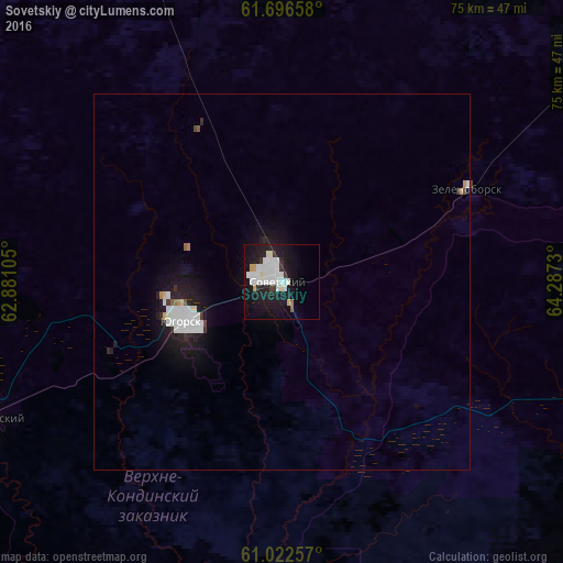
Analysis of Sovetskiy night lights 2016
Square area 10x10 km:
 8.1%
8.1%90-99
6.82%80-89
1.28%70-79
1.19%60-69
0.4%50-59
0.3%40-49
0.49%30-39
2.27%20-29
4.64%10-19
28.06%0-9
46.44%Square area 50x50 km:
0.69%90-99
0.61%80-89
0.11%70-79
0.11%60-69
0.07%50-59
0.08%40-49
0.06%30-39
0.22%20-29
0.53%10-19
2.75%0-9
94.79%Clear (daylight) street map image can be seen on geolist.org.
Map coordinates:
61° 41' 47.7" North, 62° 52' 51.8" East
61° 21' 41" North, 63° 35' 3" East
61° 1' 21.3" North, 64° 17' 14.3" East
Some cities around Sovetskiy sort by population:
• Nyagan
128.7 km =80 mi,  47°
47°
• Uray
151.7 km =94.3 mi,  154°
154°
• Yugorsk
14.6 km =9.1 mi,  247°
247°
• Ivdel’
186 km =115.6 mi, 246°
• Igrim
207.9 km =129.2 mi,  11°
11°
• Priob’ye
166.4 km =103.4 mi,  39°
39°
• Cherëmukhovo
225.1 km =139.9 mi,  239°
239°
• Pionerskiy
42.5 km =26.4 mi, 244°
1491230 (p: 23,685)
Sources (retrieved 2019-11-25):
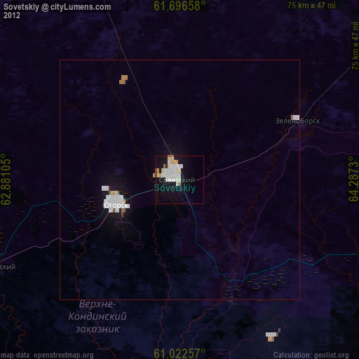
» Earth at Night: Flat Maps 2012, 2016