Nyagan night lights from space
Night Light of Nyagan (Khanty-Mansia) from space (Russia) Src. Average luminocity for 10x10km area is 38.7292% and for 50x50km: 2.2395%.
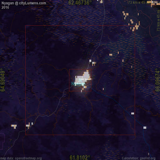
Analysis of Nyagan night lights 2016
Square area 10x10 km:
 13.04%
90-99
12.15%80-89
2.08%70-79
1.58%60-69
1.19%50-59
0.4%40-49
0.79%30-39
2.57%20-29
18.38%10-19
23.32%0-9
24.51%Square area 50x50 km:
0.61%90-99
0.58%80-89
0.1%70-79
0.14%60-69
0.15%50-59
0.1%40-49
0.08%30-39
0.12%20-29
0.76%10-19
1.84%0-9
95.53%Clear (daylight) street map image can be seen on geolist.org.
Map coordinates:
62° 28' 2.5" North, 64° 41' 25.8" East
62° 8' 26" North, 65° 23' 37" East
61° 48' 36.7" North, 66° 5' 48.3" East
Some cities around Nyagan sort by population:
• Uray
225.8 km =140.3 mi,  188°
188°
• Yugorsk
142.4 km =88.5 mi,  229°
229°
• Sovetskiy
128.7 km =80 mi, 227°
• Beloyarskiy
186.3 km =115.8 mi,  20°
20°
• Igrim
127 km =78.9 mi,  336°
336°
• Priob’ye
43.5 km =27 mi,  13°
13°
• Berëzovo
200.6 km =124.6 mi,  354°
354°
• Pionerskiy
169.7 km =105.4 mi, 231°
1496476 (p: 52,137)
Sources (retrieved 2019-11-25):
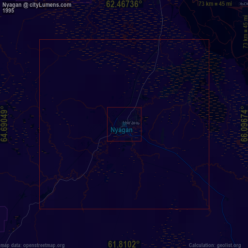
» NASA, Earths city lights 1995
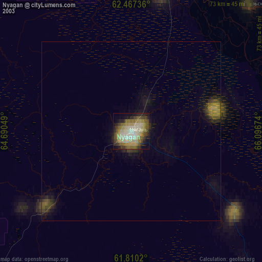
» NASA city lights 2003
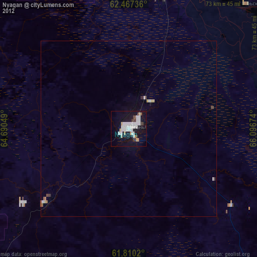
» Earth at Night: Flat Maps 2012, 2016