Salekhard night lights from space
Night Light of Salekhard (Yamalo-Nenets) from space (Russia) Src. Average luminocity for 10x10km area is 28.2197% and for 50x50km: 2.3912%.
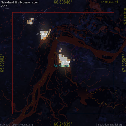
Analysis of Salekhard night lights 2016
Square area 10x10 km:
 8%
8%90-99
8.33%80-89
0.51%70-79
0.67%60-69
3.7%50-59
2.02%40-49
0.76%30-39
0.93%20-29
9.68%10-19
23.74%0-9
41.67%Square area 50x50 km:
0.53%90-99
0.56%80-89
0.1%70-79
0.1%60-69
0.31%50-59
0.15%40-49
0.16%30-39
0.16%20-29
0.49%10-19
2.4%0-9
95.03%Clear (daylight) street map image can be seen on geolist.org.
Map coordinates:
66° 48' 30.5" North, 65° 53' 55.8" East
66° 31' 48" North, 66° 36' 7" East
66° 14' 54.2" North, 67° 18' 18.3" East
Some cities around Salekhard sort by population:
• Vorkuta
154.4 km =95.9 mi,  314°
314°
• Nadym
289.1 km =179.6 mi,  112°
112°
• Labytnangi
16.3 km =10.1 mi,  330°
330°
• Beloyarskiy
313.4 km =194.7 mi,  179°
179°
• Vorgashor
168.9 km =104.9 mi, 313°
• Pangody
361.6 km =224.7 mi,  102°
102°
• Kharp
46.2 km =28.7 mi, 310°
• Berëzovo
297.2 km =184.7 mi,  194°
194°
1493197 (p: 38,025)
Sources (retrieved 2019-11-25):
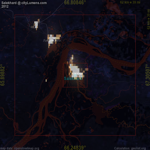
» Earth at Night: Flat Maps 2012, 2016