Igrim night lights from space
Night Light of Igrim (Khanty-Mansia) from space (Russia) Src. Average luminocity for 10x10km area is 1.5975% and for 50x50km: 0.0651%.
Analysis of Igrim night lights 2016
Square area 10x10 km:
 0.38%
0.38%90-99
0.38%80-89
0%70-79
0%60-69
0%50-59
0.76%40-49
0%30-39
0%20-29
0.38%10-19
1.14%0-9
96.97%Square area 50x50 km:
0.02%90-99
0.02%80-89
0%70-79
0%60-69
0%50-59
0.03%40-49
0%30-39
0%20-29
0.02%10-19
0.05%0-9
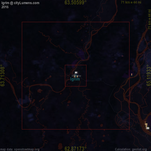
99.88%Clear (daylight) street map image can be seen on geolist.org.
Map coordinates:
63° 30' 21.6" North, 63° 42' 47.1" East
63° 11' 26.2" North, 64° 24' 58.3" East
62° 52' 18.2" North, 65° 7' 9.6" East
Some cities around Igrim sort by population:
• Khanty-Mansiysk
340.5 km =211.6 mi,  135°
135°
• Nyagan
127 km =78.9 mi,  156°
156°
• Yugorsk
216.3 km =134.4 mi,  195°
195°
• Sovetskiy
207.9 km =129.2 mi,  191°
191°
• Beloyarskiy
126.2 km =78.4 mi,  62°
62°
• Priob’ye
95.6 km =59.4 mi, 141°
• Berëzovo
88.7 km =55.1 mi,  20°
20°
• Pionerskiy
236 km =146.6 mi, 199°
1505965 (p: 9,545)
Sources (retrieved 2019-11-25):
» Earth at Night: Flat Maps 2012, 2016