Subkhankulovo night lights from space
Night Light of Subkhankulovo (Bashkortostan Republic) from space (Russia) Src. Average luminocity for 10x10km area is 9.2392% and for 50x50km: 3.4613%.
Analysis of Subkhankulovo night lights 2016
Square area 10x10 km:
 0.6%
0.6%90-99
0.24%80-89
0.24%70-79
2.63%60-69
1.2%50-59
1.32%40-49
3.59%30-39
1.08%20-29
0%10-19
8.37%0-9
80.74%Square area 50x50 km:
0.66%90-99
0.55%80-89
0.2%70-79
0.36%60-69
0.35%50-59
0.44%40-49
0.54%30-39
0.24%20-29
0.37%10-19
3.62%0-9
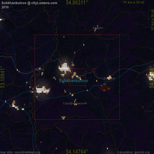
92.65%Clear (daylight) street map image can be seen on geolist.org.
Map coordinates:
54° 57' 47.2" North, 53° 6' 30.3" East
54° 33' 26.7" North, 53° 48' 41.5" East
54° 8' 51.5" North, 54° 30' 52.8" East
Some cities around Subkhankulovo sort by population:
• Oktyabr’skiy
23.5 km =14.6 mi,  248°
248°
• Tuymazy
8.5 km =5.3 mi,  309°
309°
• Bavly
40 km =24.9 mi,  242°
242°
• Kandry
19.7 km =12.2 mi,  87°
87°
• Urussu
22.9 km =14.2 mi,  281°
281°
• Serafimovskiy
14.9 km =9.3 mi,  183°
183°
• Buzdyak
47.7 km =29.6 mi, 86°
• Sharan
31.3 km =19.4 mi,  22°
22°
486894 (p: 5,674)
Sources (retrieved 2019-11-25):
» Earth at Night: Flat Maps 2012, 2016