Muslyumovo night lights from space
Night Light of Muslyumovo (Tatarstan Republic) from space (Russia) Src. Average luminocity for 10x10km area is 4.4306% and for 50x50km: 0.2117%.
Analysis of Muslyumovo night lights 2016
Square area 10x10 km:
 0%
0%90-99
0.96%80-89
1.2%70-79
0.72%60-69
1.32%50-59
0.6%40-49
0%30-39
0%20-29
0%10-19
0%0-9
95.22%Square area 50x50 km:
0%90-99
0.04%80-89
0.05%70-79
0.05%60-69
0.07%50-59
0.02%40-49
0%30-39
0%20-29
0%10-19
0%0-9
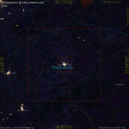
99.77%Clear (daylight) street map image can be seen on geolist.org.
Map coordinates:
55° 42' 5.6" North, 52° 29' 29.8" East
55° 18' 12" North, 53° 11' 41" East
54° 54' 3.9" North, 53° 53' 52.3" East
Some cities around Muslyumovo sort by population:
• Naberezhnyye Chelny
68.1 km =42.3 mi,  313°
313°
• Zainsk
71.2 km =44.2 mi,  271°
271°
• Menzelinsk
47.5 km =29.5 mi,  352°
352°
• Dzhalil’
42.6 km =26.5 mi,  223°
223°
• Nizhnyaya Maktama
69.1 km =42.9 mi, 224°
• Aktyubinskiy
59.8 km =37.2 mi,  204°
204°
• Bakaly
41 km =25.5 mi,  109°
109°
• Sarmanovo
38.7 km =24 mi,  262°
262°
524183 (p: 7,406)
Sources (retrieved 2019-11-25):
» Earth at Night: Flat Maps 2012, 2016