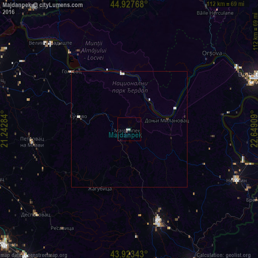
Majdanpek night lights from space
Night Light of Majdanpek (Central Serbia) from space (Serbia) Src. Average luminocity for 10x10km area is 2.4397% and for 50x50km: 0.3968%.
Analysis of Majdanpek night lights 2016
Square area 10x10 km:
 0.79%
0.79%90-99
0.79%80-89
0.32%70-79
0%60-69
0%50-59
0%40-49
0.63%30-39
0%20-29
0%10-19
0.32%0-9
97.14%Square area 50x50 km:
0.11%90-99
0.13%80-89
0.06%70-79
0%60-69
0%50-59
0%40-49
0.04%30-39
0.07%20-29
0.05%10-19
0.07%0-9
99.47%Clear (daylight) street map image can be seen on geolist.org.
Map coordinates:
44° 55' 39.6" North, 21° 14' 34.2" East
44° 25' 39.8" North, 21° 56' 45.5" East
43° 55' 24.3" North, 22° 38' 56.7" East
Some cities around Majdanpek sort by population:
• Drobeta-Turnu Severin, RO
60.3 km =37.5 mi,  68°
68°
• Zaječar
63.6 km =39.5 mi,  156°
156°
• Bor
41 km =25.5 mi, 163°
• Negotin
51.6 km =32.1 mi,  115°
115°
• Moldova Nouă, RO
40.9 km =25.4 mi,  327°
327°
• Orşova, RO
48.5 km =30.1 mi,  47°
47°
• Băile Herculane, RO
62.4 km =38.8 mi,  36°
36°
• Gogoşu, RO
51.8 km =32.2 mi,  96°
96°
788357 (p: 10,071)
Sources (retrieved 2019-11-25):
» Earth at Night: Flat Maps 2012, 2016