Drobeta-Turnu Severin night lights from space
Night Light of Drobeta-Turnu Severin (Mehedinţi) from space (Romania) Src. Average luminocity for 10x10km area is 36.6333% and for 50x50km: 2.4094%.
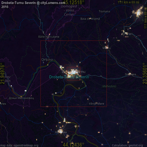
Analysis of Drobeta-Turnu Severin night lights 2016
Square area 10x10 km:
 8.48%
8.48%90-99
6.52%80-89
1.82%70-79
3.03%60-69
6.52%50-59
3.18%40-49
5%30-39
4.55%20-29
7.58%10-19
39.85%0-9
13.48%Square area 50x50 km:
0.39%90-99
0.34%80-89
0.18%70-79
0.16%60-69
0.32%50-59
0.27%40-49
0.46%30-39
0.34%20-29
0.49%10-19
2.26%0-9
94.79%Clear (daylight) street map image can be seen on geolist.org.
Map coordinates:
45° 7' 30.6" North, 21° 56' 59.1" East
44° 37' 36.9" North, 22° 39' 10.4" East
44° 7' 27.7" North, 23° 21' 21.6" East
Some cities around Drobeta-Turnu Severin sort by population:
• Motru
31.9 km =19.8 mi,  52°
52°
• Orşova
22.9 km =14.2 mi,  297°
297°
• Şimian
4.5 km =2.8 mi,  108°
108°
• Vânju-Mare
28.3 km =17.6 mi,  142°
142°
• Băile Herculane
33.9 km =21.1 mi,  325°
325°
• Corcova
32.4 km =20.1 mi,  75°
75°
• Mătăsari
42.1 km =26.2 mi, 53°
• Gogoşu
28.5 km =17.7 mi,  189°
189°
678817 (p: 102,346)
Sources (retrieved 2019-11-25):
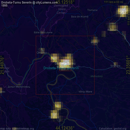
» NASA, Earths city lights 1995
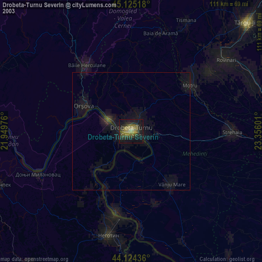
» NASA city lights 2003
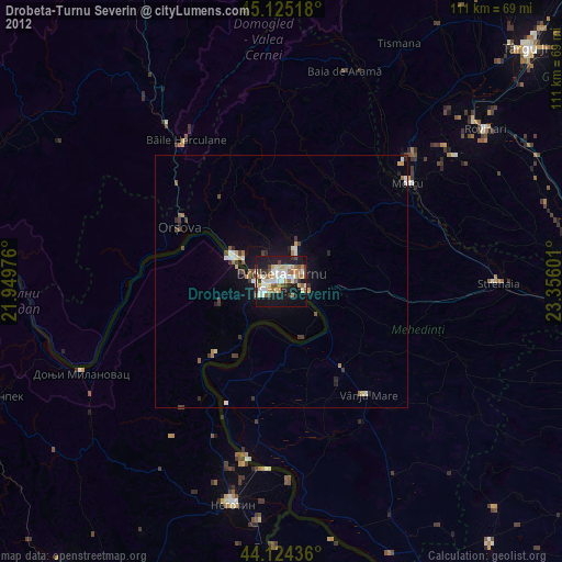
» Earth at Night: Flat Maps 2012, 2016