Negotin night lights from space
Night Light of Negotin (Central Serbia) from space (Serbia) Src. Average luminocity for 10x10km area is 14.3485% and for 50x50km: 1.3927%.
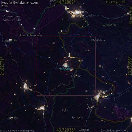
Analysis of Negotin night lights 2016
Square area 10x10 km:
 2.27%
2.27%90-99
1.97%80-89
0.61%70-79
2.88%60-69
1.97%50-59
2.73%40-49
0.91%30-39
0.15%20-29
1.06%10-19
4.39%0-9
81.06%Square area 50x50 km:
0.14%90-99
0.14%80-89
0.05%70-79
0.26%60-69
0.17%50-59
0.27%40-49
0.19%30-39
0.26%20-29
0.22%10-19
0.57%0-9
97.73%Clear (daylight) street map image can be seen on geolist.org.
Map coordinates:
44° 43' 41.1" North, 21° 49' 39.8" East
44° 13' 35" North, 22° 31' 51" East
43° 43' 13.4" North, 23° 14' 2.3" East
Some cities around Negotin sort by population:
• Vidin, BG
38.3 km =23.8 mi,  132°
132°
• Zaječar
41.7 km =25.9 mi,  210°
210°
• Bor
38.6 km =24 mi,  244°
244°
• Calafat, RO
41.5 km =25.8 mi, 129°
• Vânju-Mare, RO
34.9 km =21.7 mi,  50°
50°
• Cetate, RO
43.7 km =27.2 mi,  108°
108°
• Gogoşu, RO
17.1 km =10.6 mi,  16°
16°
• Gârla-Mare, RO
19.6 km =12.2 mi,  95°
95°
787718 (p: 17,612)
Sources (retrieved 2019-11-25):
» Earth at Night: Flat Maps 2012, 2016