Bor night lights from space
Night Light of Bor (Central Serbia) from space (Serbia) Src. Average luminocity for 10x10km area is 19.2742% and for 50x50km: 1.9267%.
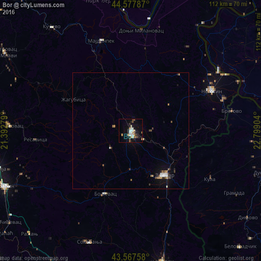
Analysis of Bor night lights 2016
Square area 10x10 km:
 2.88%
2.88%90-99
3.79%80-89
1.67%70-79
2.27%60-69
2.42%50-59
2.12%40-49
1.67%30-39
2.58%20-29
1.21%10-19
16.21%0-9
63.18%Square area 50x50 km:
0.28%90-99
0.27%80-89
0.15%70-79
0.23%60-69
0.24%50-59
0.26%40-49
0.3%30-39
0.22%20-29
0.22%10-19
1.18%0-9
96.65%Clear (daylight) street map image can be seen on geolist.org.
Map coordinates:
44° 34' 40.3" North, 21° 23' 34" East
44° 4' 29.6" North, 22° 5' 45.3" East
43° 34' 3.3" North, 22° 47' 56.5" East
Some cities around Bor sort by population:
• Zaječar
23.3 km =14.5 mi,  144°
144°
• Knjazevac
58 km =36 mi,  167°
167°
• Ćuprija
60.3 km =37.5 mi,  254°
254°
• Negotin
38.6 km =24 mi,  64°
64°
• Majdanpek
41 km =25.5 mi,  343°
343°
• Paraćin
60 km =37.3 mi, 246°
• Gogoşu, RO
51.7 km =32.1 mi,  49°
49°
• Gârla-Mare, RO
56.2 km =34.9 mi,  74°
74°
792456 (p: 39,387)
Sources (retrieved 2019-11-25):
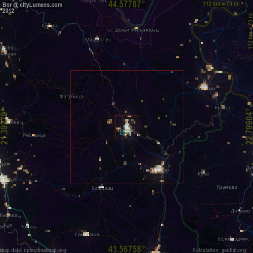
» Earth at Night: Flat Maps 2012, 2016