Zaječar night lights from space
Night Light of Zaječar (Central Serbia) from space (Serbia) Src. Average luminocity for 10x10km area is 18.5206% and for 50x50km: 1.9781%.
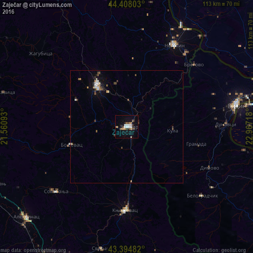
Analysis of Zaječar night lights 2016
Square area 10x10 km:
 3.97%
3.97%90-99
2.54%80-89
1.11%70-79
1.75%60-69
2.7%50-59
1.59%40-49
3.33%30-39
1.11%20-29
2.38%10-19
11.43%0-9
68.1%Square area 50x50 km:
0.29%90-99
0.27%80-89
0.17%70-79
0.2%60-69
0.26%50-59
0.28%40-49
0.33%30-39
0.25%20-29
0.19%10-19
1.17%0-9
96.6%Clear (daylight) street map image can be seen on geolist.org.
Map coordinates:
44° 24' 28.9" North, 21° 33' 39.3" East
43° 54' 12.9" North, 22° 15' 50.6" East
43° 23' 41.4" North, 22° 58' 1.8" East
Some cities around Zaječar sort by population:
• Vidin, BG
50.5 km =31.4 mi,  78°
78°
• Bor
23.3 km =14.5 mi,  324°
324°
• Knjazevac
37.5 km =23.3 mi,  180°
180°
• Calafat, RO
54.4 km =33.8 mi, 79°
• Negotin
41.7 km =25.9 mi,  30°
30°
• Ciupercenii Noi, RO
54.8 km =34.1 mi,  89°
89°
• Belogradchik, BG
45.6 km =28.3 mi,  132°
132°
• Gârla-Mare, RO
53.1 km =33 mi,  50°
50°
784024 (p: 49,800)
Sources (retrieved 2019-11-25):
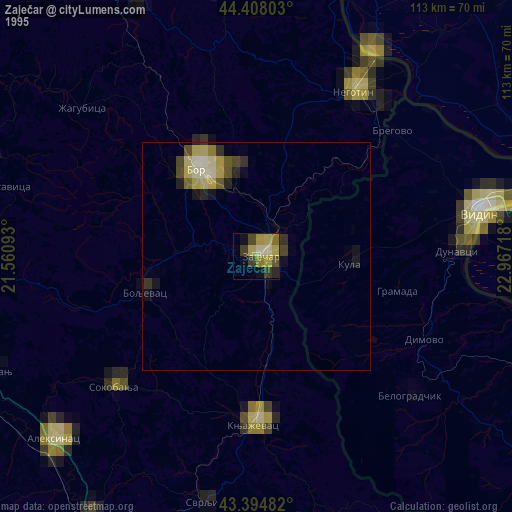
» NASA, Earths city lights 1995
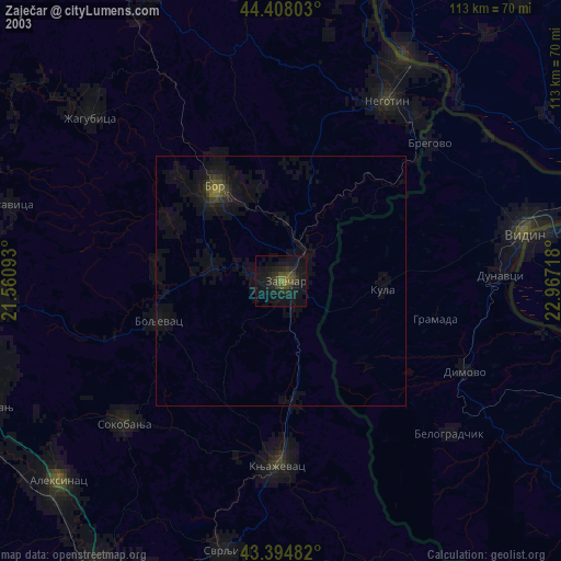
» NASA city lights 2003
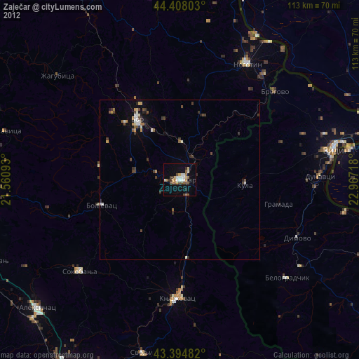
» Earth at Night: Flat Maps 2012, 2016