Leskovac night lights from space
Night Light of Leskovac (Central Serbia) from space (Serbia) Src. Average luminocity for 10x10km area is 30.7095% and for 50x50km: 2.5137%.
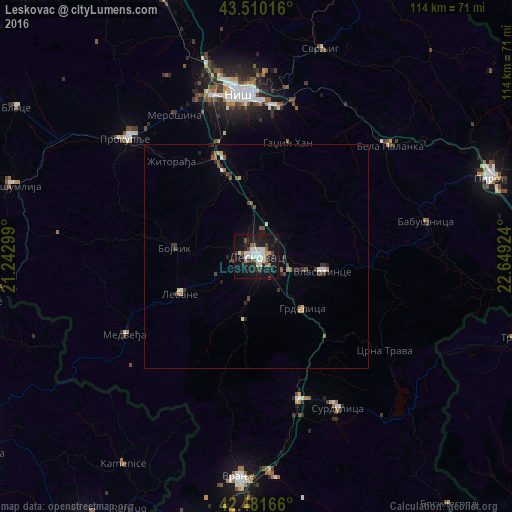
Analysis of Leskovac night lights 2016
Square area 10x10 km:
 6.19%
6.19%90-99
7.78%80-89
1.9%70-79
1.9%60-69
0.79%50-59
3.33%40-49
4.6%30-39
3.02%20-29
7.62%10-19
38.41%0-9
24.44%Square area 50x50 km:
0.28%90-99
0.45%80-89
0.19%70-79
0.21%60-69
0.12%50-59
0.37%40-49
0.52%30-39
0.48%20-29
0.62%10-19
1.9%0-9
94.85%Clear (daylight) street map image can be seen on geolist.org.
Map coordinates:
43° 30' 36.6" North, 21° 14' 34.8" East
42° 59' 53" North, 21° 56' 46" East
42° 28' 54" North, 22° 38' 57.3" East
Some cities around Leskovac sort by population:
• Niš
36.5 km =22.7 mi,  354°
354°
• Vranje
49.8 km =30.9 mi,  184°
184°
• Pirot
54.8 km =34.1 mi,  71°
71°
• Podujeva, XK
62 km =38.5 mi,  260°
260°
• Prokuplje
39.2 km =24.4 mi,  312°
312°
• Knjazevac
68 km =42.3 mi,  21°
21°
• Kamenica, XK
55.4 km =34.4 mi,  212°
212°
• Novo Brdo, XK
59.6 km =37 mi,  224°
224°
788709 (p: 94,758)
Sources (retrieved 2019-11-25):
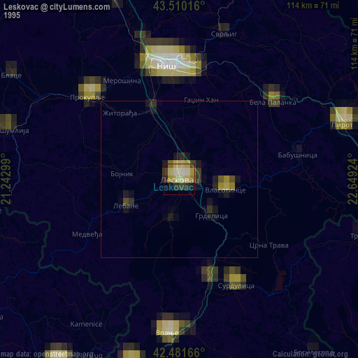
» NASA, Earths city lights 1995
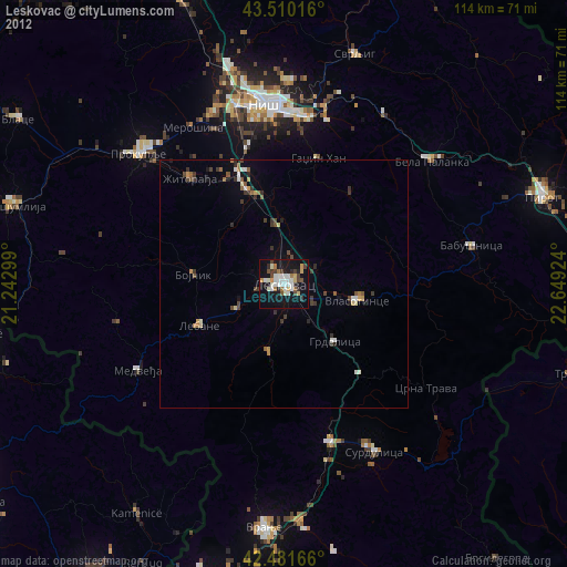
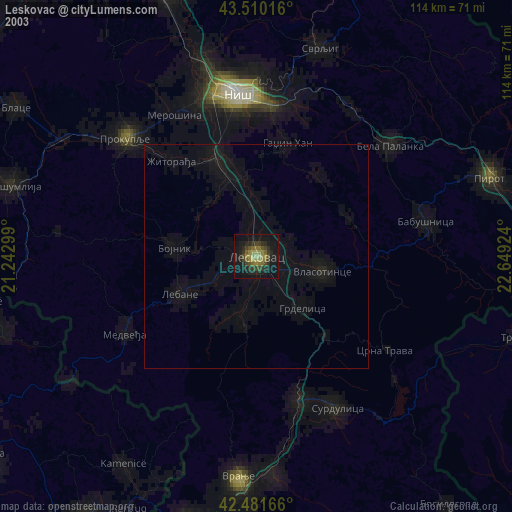
» NASA city lights 2003
» Earth at Night: Flat Maps 2012, 2016