Pirot night lights from space
Night Light of Pirot (Central Serbia) from space (Serbia) Src. Average luminocity for 10x10km area is 24.8227% and for 50x50km: 1.8064%.
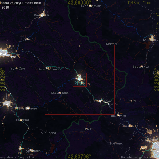
Analysis of Pirot night lights 2016
Square area 10x10 km:
 5%
5%90-99
5.76%80-89
1.52%70-79
1.97%60-69
2.27%50-59
2.58%40-49
2.27%30-39
2.12%20-29
4.39%10-19
27.27%0-9
44.85%Square area 50x50 km:
0.26%90-99
0.38%80-89
0.14%70-79
0.16%60-69
0.12%50-59
0.24%40-49
0.24%30-39
0.21%20-29
0.31%10-19
1.24%0-9
96.7%Clear (daylight) street map image can be seen on geolist.org.
Map coordinates:
43° 39' 49.9" North, 21° 52' 58.8" East
43° 9' 11" North, 22° 35' 10" East
42° 38' 16.7" North, 23° 17' 21.3" East
Some cities around Pirot sort by population:
• Niš
58.5 km =36.4 mi,  289°
289°
• Leskovac
54.8 km =34.1 mi,  251°
251°
• Knjazevac
53.1 km =33 mi,  329°
329°
• Berkovitsa, BG
44.8 km =27.8 mi,  78°
78°
• Slivnitsa, BG
49.7 km =30.9 mi,  132°
132°
• Varshets, BG
57 km =35.4 mi,  85°
85°
• Belogradchik, BG
53.3 km =33.1 mi,  8°
8°
• Godech, BG
40.5 km =25.2 mi,  111°
111°
787050 (p: 40,678)
Sources (retrieved 2019-11-25):
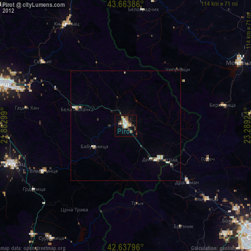
» Earth at Night: Flat Maps 2012, 2016