Paraćin night lights from space
Night Light of Paraćin (Central Serbia) from space (Serbia) Src. Average luminocity for 10x10km area is 18.2317% and for 50x50km: 2.9414%.
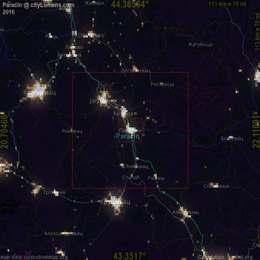
Analysis of Paraćin night lights 2016
Square area 10x10 km:
 3.17%
3.17%90-99
4.13%80-89
1.59%70-79
1.27%60-69
0.63%50-59
2.22%40-49
0.95%30-39
1.27%20-29
0.32%10-19
25.4%0-9
59.05%Square area 50x50 km:
0.43%90-99
0.47%80-89
0.12%70-79
0.17%60-69
0.24%50-59
0.54%40-49
0.43%30-39
0.34%20-29
0.55%10-19
2.9%0-9
93.8%Clear (daylight) street map image can be seen on geolist.org.
Map coordinates:
44° 21' 56.3" North, 20° 42' 16.8" East
43° 51' 39" North, 21° 24' 28" East
43° 21' 6.1" North, 22° 6' 39.3" East
Some cities around Paraćin sort by population:
• Kragujevac
43 km =26.7 mi,  293°
293°
• Kraljevo
59.6 km =37 mi,  255°
255°
• Kruševac
31.8 km =19.8 mi,  190°
190°
• Trstenik
42.4 km =26.3 mi,  230°
230°
• Jagodina
17.5 km =10.9 mi,  317°
317°
• Ćuprija
8 km =5 mi,  337°
337°
• Vrnjačka Banja
48.6 km =30.2 mi,  237°
237°
• Lapovo
43.7 km =27.2 mi,  325°
325°
787215 (p: 6,000)
Sources (retrieved 2019-11-25):
» Earth at Night: Flat Maps 2012, 2016