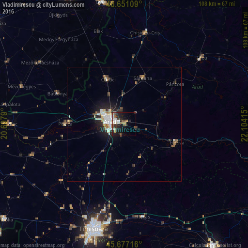
Vladimirescu night lights from space
Night Light of Vladimirescu (Arad) from space (Romania) Src. Average luminocity for 10x10km area is 26.2244% and for 50x50km: 4.9905%.
Analysis of Vladimirescu night lights 2016
Square area 10x10 km:
 3.69%
3.69%90-99
6.96%80-89
2.13%70-79
1.56%60-69
1.85%50-59
4.83%40-49
2.7%30-39
3.13%20-29
11.08%10-19
19.18%0-9
42.9%Square area 50x50 km:
0.75%90-99
1.02%80-89
0.53%70-79
0.38%60-69
0.47%50-59
0.71%40-49
0.56%30-39
0.62%20-29
1.86%10-19
3.13%0-9
89.96%Clear (daylight) street map image can be seen on geolist.org.
Map coordinates:
46° 39' 3.9" North, 20° 41' 52.4" East
46° 9' 58.6" North, 21° 24' 3.7" East
45° 40' 37.8" North, 22° 6' 14.9" East
Some cities around Vladimirescu sort by population:
• Arad
6.8 km =4.2 mi,  286°
286°
• Sântana
21.8 km =13.5 mi,  20°
20°
• Lipova
24.2 km =15 mi,  110°
110°
• Curtici
21.9 km =13.6 mi,  339°
339°
• Şiria
21.1 km =13.1 mi,  58°
58°
• Vinga
22.7 km =14.1 mi,  222°
222°
• Fântânele
4.9 km =3 mi,  195°
195°
• Felnac
20.1 km =12.5 mi,  254°
254°
662600 (p: 10,451)
Sources (retrieved 2019-11-25):
» Earth at Night: Flat Maps 2012, 2016