Vinga night lights from space
Night Light of Vinga (Arad) from space (Romania) Src. Average luminocity for 10x10km area is 1.4474% and for 50x50km: 6.2288%.
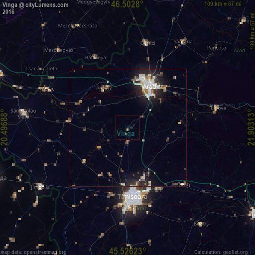
Analysis of Vinga night lights 2016
Square area 10x10 km:
 0%
0%90-99
0%80-89
0%70-79
0.57%60-69
0%50-59
0.57%40-49
0%30-39
0%20-29
1.42%10-19
0.28%0-9
97.16%Square area 50x50 km:
0.88%90-99
1.11%80-89
0.7%70-79
0.53%60-69
0.62%50-59
0.84%40-49
0.74%30-39
1%20-29
2.45%10-19
4.11%0-9
87.03%Clear (daylight) street map image can be seen on geolist.org.
Map coordinates:
46° 30' 10.1" North, 20° 29' 48.8" East
46° 1' 0" North, 21° 12' 0" East
45° 31' 34.4" North, 21° 54' 11.3" East
Some cities around Vinga sort by population:
• Arad
20.6 km =12.8 mi,  25°
25°
• Pecica
19.6 km =12.2 mi,  328°
328°
• Variaş
19.3 km =12 mi,  270°
270°
• Secusigiu
18.3 km =11.4 mi,  293°
293°
• Fântânele
18.5 km =11.5 mi,  50°
50°
• Giarmata
21.6 km =13.4 mi,  156°
156°
• Sânandrei
18.4 km =11.4 mi,  187°
187°
• Felnac
11.8 km =7.3 mi,  340°
340°
662811 (p: 6,283)
Sources (retrieved 2019-11-25):
» Earth at Night: Flat Maps 2012, 2016