Arad night lights from space
Night Light of Arad from space (Romania) Src. Average luminocity for 10x10km area is 61.5497% and for 50x50km: 5.0342%.
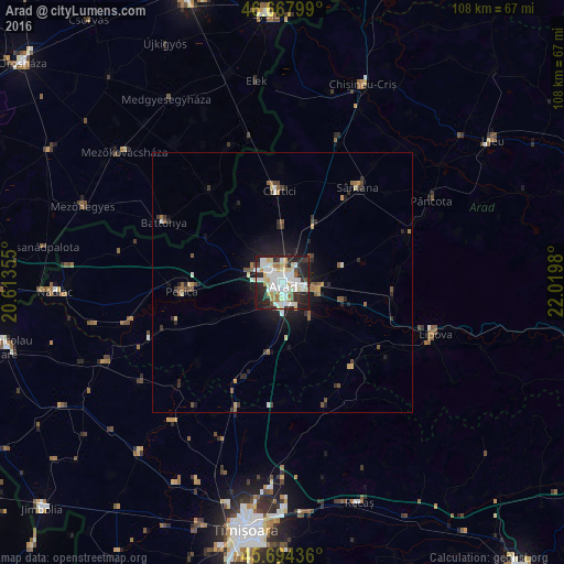
Analysis of Arad night lights 2016
Square area 10x10 km:
 16.76%
90-99
20.45%80-89
8.38%70-79
3.13%60-69
4.4%50-59
2.84%40-49
2.98%30-39
6.68%20-29
23.44%10-19
10.8%0-9
0.14%Square area 50x50 km:
0.75%90-99
1.04%80-89
0.56%70-79
0.38%60-69
0.46%50-59
0.66%40-49
0.52%30-39
0.68%20-29
1.98%10-19
3.14%0-9
89.84%Clear (daylight) street map image can be seen on geolist.org.
Map coordinates:
46° 40' 4.8" North, 20° 36' 48.8" East
46° 10' 60" North, 21° 19' 0" East
45° 41' 39.7" North, 22° 1' 11.3" East
Some cities around Arad sort by population:
• Pecica
19.3 km =12 mi,  264°
264°
• Sântana
23.3 km =14.5 mi,  37°
37°
• Vladimirescu
6.8 km =4.2 mi,  106°
106°
• Curtici
18.6 km =11.6 mi,  356°
356°
• Vinga
20.6 km =12.8 mi,  205°
205°
• Macea
22.3 km =13.9 mi, 356°
• Fântânele
8.4 km =5.2 mi,  141°
141°
• Felnac
14.8 km =9.2 mi,  240°
240°
686254 (p: 169,065)
Sources (retrieved 2019-11-25):
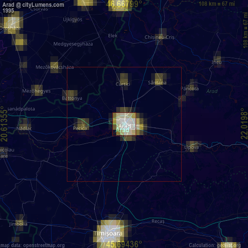
» NASA, Earths city lights 1995
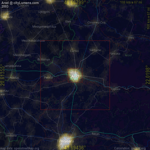
» NASA city lights 2003
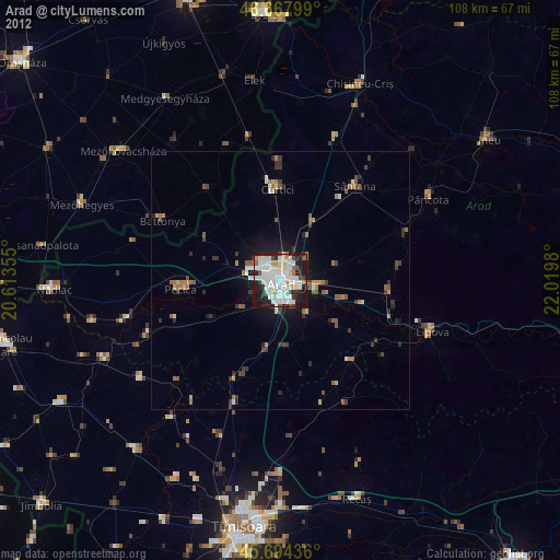
» Earth at Night: Flat Maps 2012, 2016