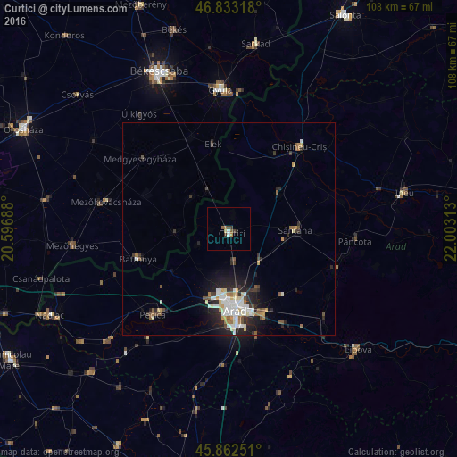
Curtici night lights from space
Night Light of Curtici (Arad) from space (Romania) Src. Average luminocity for 10x10km area is 5.0104% and for 50x50km: 4.6982%.
Analysis of Curtici night lights 2016
Square area 10x10 km:
 0.3%
0.3%90-99
0.89%80-89
0.6%70-79
0.45%60-69
0.74%50-59
1.19%40-49
0.6%30-39
1.79%20-29
0.6%10-19
0%0-9
92.86%Square area 50x50 km:
0.76%90-99
1.04%80-89
0.5%70-79
0.35%60-69
0.45%50-59
0.66%40-49
0.4%30-39
0.69%20-29
1.83%10-19
2.47%0-9
90.84%Clear (daylight) street map image can be seen on geolist.org.
Map coordinates:
46° 49' 59.4" North, 20° 35' 48.8" East
46° 21' 0" North, 21° 18' 0" East
45° 51' 45" North, 22° 0' 11.3" East
Some cities around Curtici sort by population:
• Arad
18.6 km =11.6 mi,  176°
176°
• Sântana
15.3 km =9.5 mi,  90°
90°
• Vladimirescu
21.9 km =13.6 mi,  159°
159°
• Chişineu-Criş
25.7 km =16 mi,  40°
40°
• Battonya, HU
23 km =14.3 mi,  251°
251°
• Macea
3.7 km =2.3 mi,  0°
0°
• Fântânele
26 km =16.2 mi,  165°
165°
• Elek, HU
20.7 km =12.9 mi,  349°
349°
679901 (p: 9,615)
Sources (retrieved 2019-11-25):
» Earth at Night: Flat Maps 2012, 2016