Odorheiu Secuiesc night lights from space
Night Light of Odorheiu Secuiesc (Harghita) from space (Romania) Src. Average luminocity for 10x10km area is 6.3705% and for 50x50km: 0.3363%.
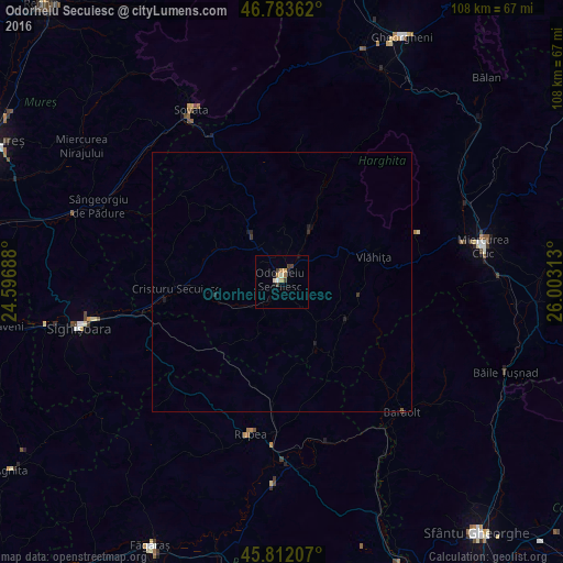
Analysis of Odorheiu Secuiesc night lights 2016
Square area 10x10 km:
 0.45%
0.45%90-99
1.34%80-89
0.15%70-79
1.64%60-69
1.19%50-59
0%40-49
1.19%30-39
1.79%20-29
0.6%10-19
1.49%0-9
90.18%Square area 50x50 km:
0.02%90-99
0.05%80-89
0.01%70-79
0.07%60-69
0.05%50-59
0.01%40-49
0.05%30-39
0.13%20-29
0.1%10-19
0.18%0-9
99.34%Clear (daylight) street map image can be seen on geolist.org.
Map coordinates:
46° 47' 1" North, 24° 35' 48.8" East
46° 18' 0" North, 25° 18' 0" East
45° 48' 43.5" North, 26° 0' 11.3" East
Some cities around Odorheiu Secuiesc sort by population:
• Cristuru Secuiesc
20.6 km =12.8 mi,  264°
264°
• Baraolt
34.1 km =21.2 mi,  137°
137°
• Vlăhiţa
17.5 km =10.9 mi,  71°
71°
• Praid
30.6 km =19 mi,  335°
335°
• Corund
20.6 km =12.8 mi,  334°
334°
• Mugeni
8.5 km =5.3 mi,  229°
229°
• Zetea
10.6 km =6.6 mi,  28°
28°
• Rupea
30.3 km =18.8 mi,  192°
192°
671964 (p: 36,532)
Sources (retrieved 2019-11-25):
» Earth at Night: Flat Maps 2012, 2016