Cristuru Secuiesc night lights from space
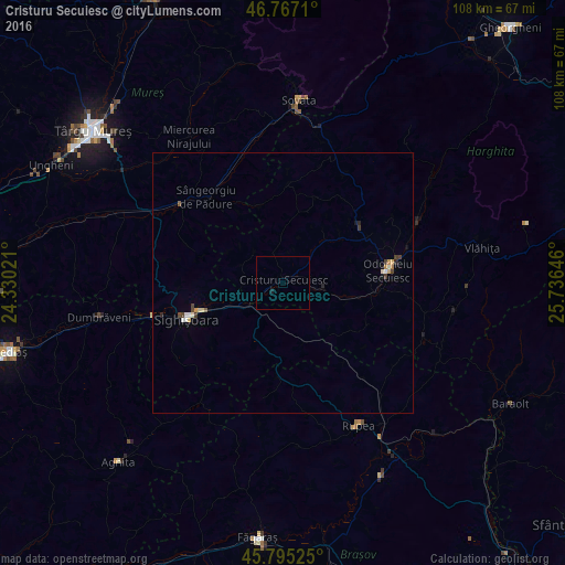
Night Light of Cristuru Secuiesc (Harghita) from space (Romania) Src. Average luminocity for 10x10km area is 0.122% and for 50x50km: 0.6642%.
Analysis of Cristuru Secuiesc night lights 2016
Square area 10x10 km:
 0%
0%90-99
0%80-89
0%70-79
0%60-69
0%50-59
0%40-49
0%30-39
0%20-29
0%10-19
0.6%0-9
99.4%Square area 50x50 km:
0.07%90-99
0.11%80-89
0.1%70-79
0.1%60-69
0.05%50-59
0.05%40-49
0.12%30-39
0.14%20-29
0.1%10-19
0.12%0-9
99.05%Clear (daylight) street map image can be seen on geolist.org.
Map coordinates:
46° 46' 1.6" North, 24° 19' 48.8" East
46° 16' 60" North, 25° 1' 60" East
45° 47' 42.9" North, 25° 44' 11.3" East
Some cities around Cristuru Secuiesc sort by population:
• Odorheiu Secuiesc
20.6 km =12.8 mi,  84°
84°
• Sighișoara
19.7 km =12.2 mi,  249°
249°
• Praid
30.6 km =19 mi,  14°
14°
• Corund
23.4 km =14.5 mi,  29°
29°
• Mugeni
14.6 km =9.1 mi,  104°
104°
• Zetea
27.9 km =17.3 mi,  66°
66°
• Rupea
31.2 km =19.4 mi,  153°
153°
• Albeşti
15.2 km =9.4 mi, 248°
680148 (p: 9,554)
Sources (retrieved 2019-11-25):
» Earth at Night: Flat Maps 2012, 2016