Corund night lights from space
Night Light of Corund (Harghita) from space (Romania) Src. Average luminocity for 10x10km area is 0% and for 50x50km: 0.4857%.
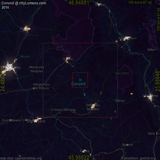
Analysis of Corund night lights 2016
Square area 10x10 km:
 0%
0%90-99
0%80-89
0%70-79
0%60-69
0%50-59
0%40-49
0%30-39
0%20-29
0%10-19
0%0-9
100%Square area 50x50 km:
0.02%90-99
0.05%80-89
0.02%70-79
0.09%60-69
0.07%50-59
0.08%40-49
0.14%30-39
0.12%20-29
0.09%10-19
0.18%0-9
99.13%Clear (daylight) street map image can be seen on geolist.org.
Map coordinates:
46° 56' 55.7" North, 24° 28' 48.8" East
46° 28' 0" North, 25° 10' 60" East
45° 58' 48.8" North, 25° 53' 11.3" East
Some cities around Corund sort by population:
• Odorheiu Secuiesc
20.6 km =12.8 mi,  154°
154°
• Sovata
15.7 km =9.8 mi,  325°
325°
• Cristuru Secuiesc
23.4 km =14.5 mi,  209°
209°
• Vlăhiţa
28.7 km =17.8 mi,  116°
116°
• Praid
10 km =6.2 mi,  337°
337°
• Mugeni
24.2 km =15 mi,  173°
173°
• Miercurea Nirajului
30.3 km =18.8 mi,  284°
284°
• Zetea
16.8 km =10.4 mi, 123°
680674 (p: 6,091)
Sources (retrieved 2019-11-25):
» Earth at Night: Flat Maps 2012, 2016