Baraolt night lights from space
Night Light of Baraolt (Covasna) from space (Romania) Src. Average luminocity for 10x10km area is 0.3239% and for 50x50km: 0.7025%.
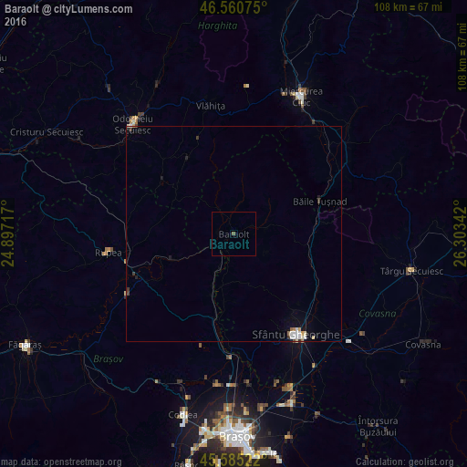
Analysis of Baraolt night lights 2016
Square area 10x10 km:
 0%
0%90-99
0%80-89
0%70-79
0%60-69
0%50-59
0.57%40-49
0%30-39
0%20-29
0%10-19
0%0-9
99.43%Square area 50x50 km:
0.15%90-99
0.12%80-89
0.08%70-79
0.08%60-69
0.06%50-59
0.04%40-49
0.05%30-39
0.14%20-29
0.08%10-19
0.3%0-9
98.9%Clear (daylight) street map image can be seen on geolist.org.
Map coordinates:
46° 33' 38.7" North, 24° 53' 49.8" East
46° 4' 30.5" North, 25° 36' 1" East
45° 35' 6.8" North, 26° 18' 12.3" East
Some cities around Baraolt sort by population:
• Sfântu Gheorghe
27.2 km =16.9 mi,  148°
148°
• Miercurea-Ciuc
34.2 km =21.3 mi,  26°
26°
• Odorheiu Secuiesc
34.1 km =21.2 mi,  317°
317°
• Vlăhiţa
31.2 km =19.4 mi,  348°
348°
• Feldioara
28.7 km =17.8 mi,  180°
180°
• Sâncrăieni
32.3 km =20.1 mi, 34°
• Hălchiu
34.5 km =21.4 mi,  186°
186°
• Rupea
30 km =18.6 mi,  261°
261°
685419 (p: 9,429)
Sources (retrieved 2019-11-25):
» Earth at Night: Flat Maps 2012, 2016