Vlăhiţa night lights from space
Night Light of Vlăhiţa (Harghita) from space (Romania) Src. Average luminocity for 10x10km area is 0% and for 50x50km: 0.7928%.
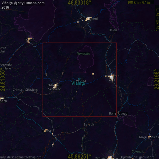
Analysis of Vlăhiţa night lights 2016
Square area 10x10 km:
 0%
0%90-99
0%80-89
0%70-79
0%60-69
0%50-59
0%40-49
0%30-39
0%20-29
0%10-19
0%0-9
100%Square area 50x50 km:
0.1%90-99
0.12%80-89
0.08%70-79
0.09%60-69
0.08%50-59
0.09%40-49
0.11%30-39
0.21%20-29
0.13%10-19
0.22%0-9
98.77%Clear (daylight) street map image can be seen on geolist.org.
Map coordinates:
46° 49' 59.4" North, 24° 48' 48.8" East
46° 21' 0" North, 25° 31' 0" East
45° 51' 45" North, 26° 13' 11.3" East
Some cities around Vlăhiţa sort by population:
• Miercurea-Ciuc
21.7 km =13.5 mi,  90°
90°
• Odorheiu Secuiesc
17.5 km =10.9 mi,  251°
251°
• Siculeni
19.4 km =12.1 mi,  67°
67°
• Sâncrăieni
25.1 km =15.6 mi,  99°
99°
• Corund
28.7 km =17.8 mi,  296°
296°
• Mugeni
25.6 km =15.9 mi,  244°
244°
• Zetea
12.1 km =7.5 mi,  287°
287°
• Cârţa
27.1 km =16.8 mi,  41°
41°
662570 (p: 6,922)
Sources (retrieved 2019-11-25):
» Earth at Night: Flat Maps 2012, 2016