Rupea night lights from space
Night Light of Rupea (Braşov) from space (Romania) Src. Average luminocity for 10x10km area is 2.5014% and for 50x50km: 0.4431%.
Analysis of Rupea night lights 2016
Square area 10x10 km:
 0%
0%90-99
0%80-89
0%70-79
1.56%60-69
0.99%50-59
0.28%40-49
0.57%30-39
0%20-29
0%10-19
0%0-9
96.59%Square area 50x50 km:
0.04%90-99
0.06%80-89
0.07%70-79
0.09%60-69
0.07%50-59
0.06%40-49
0.05%30-39
0.09%20-29
0.07%10-19
0.07%0-9
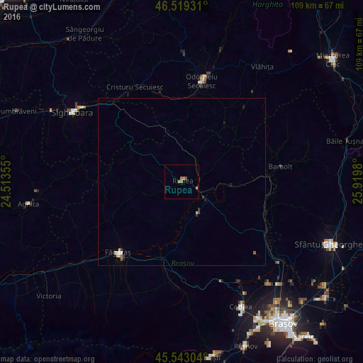
99.34%Clear (daylight) street map image can be seen on geolist.org.
Map coordinates:
46° 31' 9.5" North, 24° 30' 48.8" East
46° 1' 60" North, 25° 13' 0" East
45° 32' 34.9" North, 25° 55' 11.3" East
Some cities around Rupea sort by population:
• Odorheiu Secuiesc
30.3 km =18.8 mi,  12°
12°
• Sighișoara
38.8 km =24.1 mi,  302°
302°
• Făgăraș
28.1 km =17.5 mi,  223°
223°
• Cristuru Secuiesc
31.2 km =19.4 mi,  333°
333°
• Baraolt
30 km =18.6 mi,  81°
81°
• Feldioara
38.2 km =23.7 mi,  129°
129°
• Mugeni
24.1 km =15 mi,  0°
0°
• Albeşti
36 km =22.4 mi,  308°
308°
668442 (p: 5,610)
Sources (retrieved 2019-11-25):
» Earth at Night: Flat Maps 2012, 2016