Lugoj night lights from space
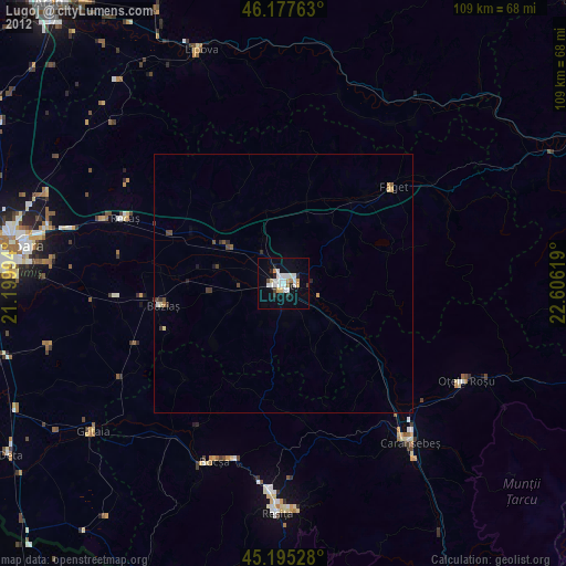
Night Light of Lugoj (Timiş) from space (Romania) Src. Average luminocity for 10x10km area is 21.8455% and for 50x50km: 1.4161%.
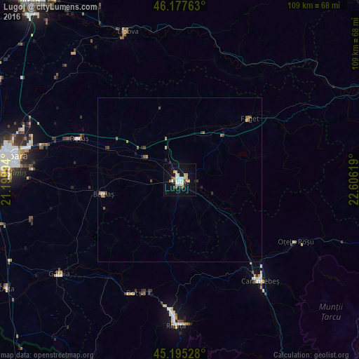
Analysis of Lugoj night lights 2016
Square area 10x10 km:
 3.03%
3.03%90-99
5.45%80-89
3.18%70-79
2.27%60-69
1.36%50-59
1.21%40-49
1.67%30-39
1.82%20-29
1.36%10-19
22.27%0-9
56.36%Square area 50x50 km:
0.12%90-99
0.25%80-89
0.14%70-79
0.25%60-69
0.1%50-59
0.23%40-49
0.2%30-39
0.19%20-29
0.19%10-19
0.94%0-9
97.38%Clear (daylight) street map image can be seen on geolist.org.
Map coordinates:
46° 10' 39.5" North, 21° 11' 59.8" East
45° 41' 19" North, 21° 54' 11" East
45° 11' 43" North, 22° 36' 22.3" East
Some cities around Lugoj sort by population:
• Reşiţa
43.1 km =26.8 mi,  181°
181°
• Caransebeş
38.9 km =24.2 mi,  141°
141°
• Bocşa
38.2 km =23.7 mi,  203°
203°
• Oţelu Roşu
40 km =24.9 mi,  115°
115°
• Recaş
33.5 km =20.8 mi,  291°
291°
• Gătaia
46.6 km =29 mi,  232°
232°
• Buziaş
23.7 km =14.7 mi,  259°
259°
• Făget
28.2 km =17.5 mi,  50°
50°
674531 (p: 43,243)
Sources (retrieved 2019-11-25):
» Earth at Night: Flat Maps 2012, 2016