Făget night lights from space
Night Light of Făget (Timiş) from space (Romania) Src. Average luminocity for 10x10km area is 1.7723% and for 50x50km: 1.0448%.
Analysis of Făget night lights 2016
Square area 10x10 km:
100  0%
0%
90-99 0%
80-89 0%
70-79 0.6%
60-69 0.6%
50-59 0.89%
40-49 0.3%
30-39 0.6%
20-29 0%
10-19 0%
0-9 97.02%
0%90-99
0%80-89
0%70-79
0.6%60-69
0.6%50-59
0.89%40-49
0.3%30-39
0.6%20-29
0%10-19
0%0-9
97.02%Square area 50x50 km:
100 0.12%
90-99 0.22%
80-89 0.13%
70-79 0.14%
60-69 0.08%
50-59 0.11%
40-49 0.1%
30-39 0.15%
20-29 0.13%
10-19 0.89%
0-9 97.95%
0.12%90-99
0.22%80-89
0.13%70-79
0.14%60-69
0.08%50-59
0.11%40-49
0.1%30-39
0.15%20-29
0.13%10-19
0.89%0-9
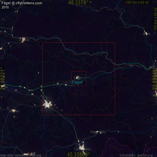
97.95%Clear (daylight) street map image can be seen on geolist.org.
Map coordinates:
46° 20' 15.4" North, 21° 28' 48.8" East
45° 51' 0" North, 22° 10' 60" East
45° 21' 29.1" North, 22° 53' 11.3" East
Some cities around Făget sort by population:
• Deva
55.6 km =34.5 mi,  86°
86°
• Lugoj
28.2 km =17.5 mi,  230°
230°
• Caransebeş
48.3 km =30 mi,  176°
176°
• Brad
56 km =34.8 mi,  55°
55°
• Oţelu Roşu
38 km =23.6 mi,  157°
157°
• Lipova
46.2 km =28.7 mi,  305°
305°
• Recaş
53.2 km =33.1 mi,  263°
263°
• Buziaş
50.2 km =31.2 mi,  243°
243°
678490 (p: 7,125)
Sources (retrieved 2019-11-25):
» Earth at Night: Flat Maps 2012, 2016