Reşiţa night lights from space
Night Light of Reşiţa (Caraş-Severin) from space (Romania) Src. Average luminocity for 10x10km area is 21.9937% and for 50x50km: 1.4205%.
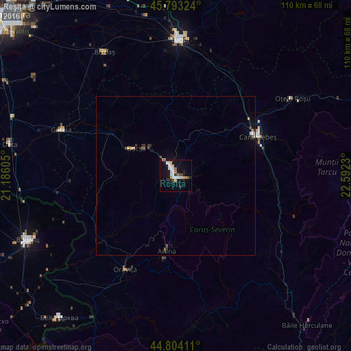
Analysis of Reşiţa night lights 2016
Square area 10x10 km:
 4.44%
4.44%90-99
5.87%80-89
1.59%70-79
3.17%60-69
0.16%50-59
1.27%40-49
1.9%30-39
0.63%20-29
2.54%10-19
22.86%0-9
55.56%Square area 50x50 km:
0.19%90-99
0.29%80-89
0.13%70-79
0.2%60-69
0.07%50-59
0.07%40-49
0.18%30-39
0.2%20-29
0.21%10-19
1%0-9
97.48%Clear (daylight) street map image can be seen on geolist.org.
Map coordinates:
45° 47' 35.7" North, 21° 11' 9.8" East
45° 18' 3" North, 21° 53' 21" East
44° 48' 14.8" North, 22° 35' 32.3" East
Some cities around Reşiţa sort by population:
• Lugoj
43.1 km =26.8 mi,  1°
1°
• Caransebeş
28.6 km =17.8 mi,  63°
63°
• Bocşa
16.2 km =10.1 mi,  299°
299°
• Oraviţa
33.7 km =20.9 mi,  207°
207°
• Oţelu Roşu
45.4 km =28.2 mi, 55°
• Anina
24.7 km =15.3 mi,  185°
185°
• Gătaia
38.7 km =24 mi,  291°
291°
• Buziaş
44.7 km =27.8 mi,  330°
330°
668954 (p: 81,228)
Sources (retrieved 2019-11-25):
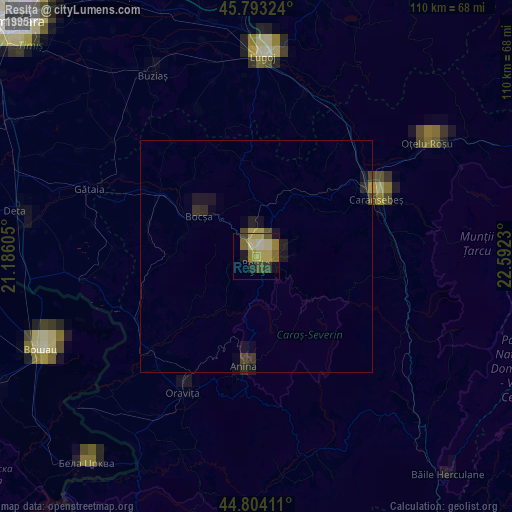
» NASA, Earths city lights 1995
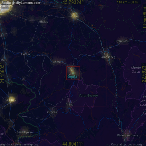
» NASA city lights 2003
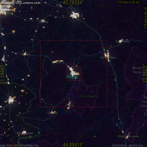
» Earth at Night: Flat Maps 2012, 2016