Puerto Rosario night lights from space
Night Light of Puerto Rosario (San Pedro) from space (Paraguay) Src. Average luminocity for 10x10km area is 7.619% and for 50x50km: 0.6377%.
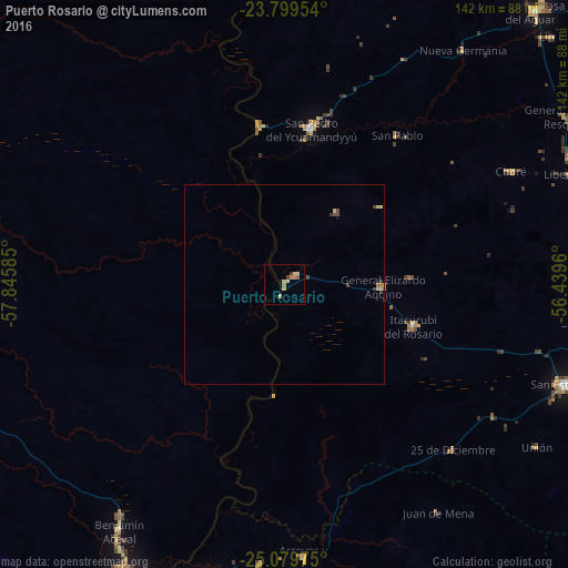
Analysis of Puerto Rosario night lights 2016
Square area 10x10 km:
 0%
0%90-99
0%80-89
3.17%70-79
1.59%60-69
2.78%50-59
0.4%40-49
0.2%30-39
1.39%20-29
0%10-19
0%0-9
90.48%Square area 50x50 km:
0%90-99
0%80-89
0.25%70-79
0.09%60-69
0.18%50-59
0.02%40-49
0.13%30-39
0.25%20-29
0%10-19
0.02%0-9
99.07%Clear (daylight) street map image can be seen on geolist.org.
Map coordinates:
23° 47' 58.3" South, 57° 50' 45.1" West
24° 26' 28.6" South, 57° 8' 33.8" West
25° 4' 47.1" South, 56° 26' 22.6" West
Some cities around Puerto Rosario sort by population:
• Limpio
87.7 km =54.5 mi,  203°
203°
• Mariano Roque Alonso
93.9 km =58.3 mi, 204°
• Villa Hayes
82 km =51 mi,  207°
207°
• Lima
91.3 km =56.7 mi,  47°
47°
• Tobatí
91.4 km =56.8 mi,  176°
176°
• San Pedro de Ycuamandiyú
40 km =24.9 mi,  8°
8°
• Benjamín Aceval
72.4 km =45 mi,  216°
216°
• Emboscada
81.5 km =50.6 mi,  194°
194°
3437342 (p: 5,123)
Sources (retrieved 2019-11-25):
» Earth at Night: Flat Maps 2012, 2016