Villa Hayes night lights from space
Night Light of Villa Hayes (Presidente Hayes) from space (Paraguay) Src. Average luminocity for 10x10km area is 35.4564% and for 50x50km: 21.5711%.
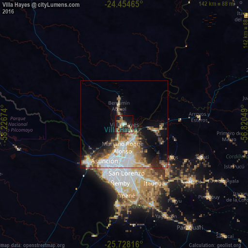

Analysis of Villa Hayes night lights 2016
Square area 10x10 km:
 1.14%
1.14%90-99
3.03%80-89
5.3%70-79
8.33%60-69
8.9%50-59
2.84%40-49
2.84%30-39
8.33%20-29
17.23%10-19
32.95%0-9
9.09%Square area 50x50 km:
5.19%90-99
4.07%80-89
2.4%70-79
3.01%60-69
3.5%50-59
2.11%40-49
2.43%30-39
2.68%20-29
3.51%10-19
8.19%0-9
62.91%Clear (daylight) street map image can be seen on geolist.org.
Map coordinates:
24° 27' 16.7" South, 58° 13' 36.3" West
25° 5' 35" South, 57° 31' 25" West
25° 43' 41.4" South, 56° 49' 13.8" West
Some cities around Villa Hayes sort by population:
• Asunción
24.8 km =15.4 mi,  209°
209°
• San Lorenzo
27.5 km =17.1 mi,  176°
176°
• Fernando de la Mora
27.3 km =17 mi, 179°
• Limpio
9 km =5.6 mi,  154°
154°
• Mariano Roque Alonso
12.8 km =8 mi, 183°
• Benjamín Aceval
14.7 km =9.1 mi,  342°
342°
• Emboscada
18.6 km =11.6 mi,  109°
109°
• Nanawua
27.5 km =17.1 mi,  221°
221°
3436725 (p: 57,217)
Sources (retrieved 2019-11-25):
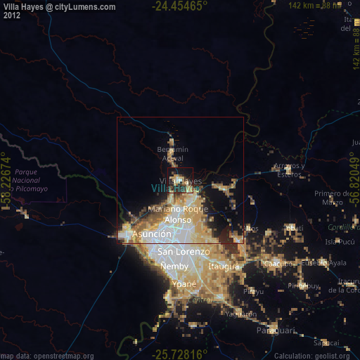
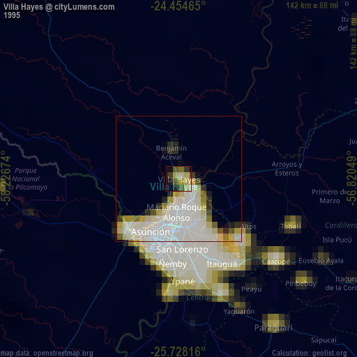
» NASA, Earths city lights 1995
» NASA city lights 2003
» Earth at Night: Flat Maps 2012, 2016