Concepción night lights from space
Night Light of Concepción from space (Paraguay) Src. Average luminocity for 10x10km area is 30.8655% and for 50x50km: 1.9339%.
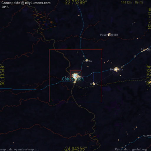
Analysis of Concepción night lights 2016
Square area 10x10 km:
 5.11%
5.11%90-99
5.49%80-89
3.6%70-79
5.49%60-69
4.92%50-59
1.7%40-49
1.33%30-39
1.89%20-29
4.55%10-19
36.17%0-9
29.73%Square area 50x50 km:
0.23%90-99
0.24%80-89
0.26%70-79
0.37%60-69
0.32%50-59
0.12%40-49
0.1%30-39
0.24%20-29
0.24%10-19
1.73%0-9
96.16%Clear (daylight) street map image can be seen on geolist.org.
Map coordinates:
22° 45' 10.8" South, 58° 8' 7.8" West
23° 23' 59.5" South, 57° 25' 56.5" West
24° 2' 36.8" South, 56° 43' 45.3" West
Some cities around Concepción sort by population:
• Villa Hayes
188.5 km =117.1 mi,  182°
182°
• Bela Vista, BR
171.3 km =106.4 mi,  33°
33°
• Horqueta
38.6 km =24 mi,  80°
80°
• Lima
110.7 km =68.8 mi,  119°
119°
• San Pedro de Ycuamandiyú
83.9 km =52.1 mi,  155°
155°
• Benjamín Aceval
174.7 km =108.6 mi, 184°
• Bella Vista
169.2 km =105.1 mi, 33°
• Puerto Rosario
119.5 km =74.3 mi,  165°
165°
3438834 (p: 48,123)
Sources (retrieved 2019-11-25):
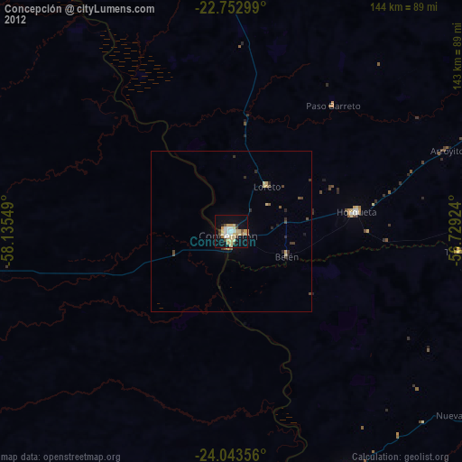
» Earth at Night: Flat Maps 2012, 2016