Horqueta night lights from space
Night Light of Horqueta (Concepción) from space (Paraguay) Src. Average luminocity for 10x10km area is 13.7311% and for 50x50km: 0.9861%.
Analysis of Horqueta night lights 2016
Square area 10x10 km:
 0.95%
0.95%90-99
1.7%80-89
4.36%70-79
1.89%60-69
2.27%50-59
0.19%40-49
0.95%30-39
0.57%20-29
1.33%10-19
1.7%0-9
84.09%Square area 50x50 km:
0.04%90-99
0.07%80-89
0.28%70-79
0.18%60-69
0.17%50-59
0.05%40-49
0.11%30-39
0.11%20-29
0.19%10-19
0.12%0-9
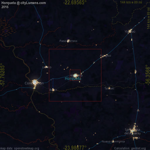
98.68%Clear (daylight) street map image can be seen on geolist.org.
Map coordinates:
22° 41' 44.3" South, 57° 45' 46.3" West
23° 20' 34" South, 57° 3' 35" West
23° 59' 12.4" South, 56° 21' 23.8" West
Some cities around Horqueta sort by population:
• Pedro Juan Caballero
162.1 km =100.7 mi,  56°
56°
• Concepción
38.6 km =24 mi,  260°
260°
• Bela Vista, BR
147.9 km =91.9 mi,  21°
21°
• Lima
84.1 km =52.3 mi,  135°
135°
• San Pedro de Ycuamandiyú
82.6 km =51.3 mi,  181°
181°
• Capitán Bado
156.1 km =97 mi,  86°
86°
• Bella Vista
145.6 km =90.5 mi, 22°
• Puerto Rosario
122.4 km =76.1 mi, 183°
3480780 (p: 10,531)
Sources (retrieved 2019-11-25):
» Earth at Night: Flat Maps 2012, 2016