Kloulklubed night lights from space
Night Light of Kloulklubed (Peleliu) from space (Palau) Src. Average luminocity for 10x10km area is 1.9026% and for 50x50km: 0.0761%.
Analysis of Kloulklubed night lights 2016
Square area 10x10 km:
 0%
0%90-99
0.87%80-89
0%70-79
0%60-69
0.22%50-59
1.52%40-49
0%30-39
0%20-29
0%10-19
0%0-9
97.4%Square area 50x50 km:
0%90-99
0.03%80-89
0%70-79
0%60-69
0.01%50-59
0.06%40-49
0%30-39
0%20-29
0%10-19
0%0-9
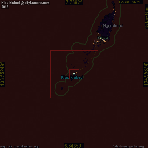
99.9%Clear (daylight) street map image can be seen on geolist.org.
Map coordinates:
7° 44' 21.1" North, 133° 33' 9" East
7° 2' 30.9" North, 134° 15' 20.2" East
6° 20' 36.9" North, 134° 57' 31.5" East
Some cities around Kloulklubed sort by population:
• Koror
40.9 km =25.4 mi,  35°
35°
• Koror Town
41.5 km =25.8 mi, 36°
• Ngchesar Hamlet
61.5 km =38.2 mi, 39°
• Ngchemiangel
51.1 km =31.8 mi,  28°
28°
• Angaur State
20.5 km =12.7 mi,  222°
222°
• Imeong Hamlet
62.1 km =38.6 mi, 28°
• Ngetkib
45.9 km =28.5 mi, 38°
• Ngereklmadel
55.7 km =34.6 mi, 27°
7671223 (p: 702)
Sources (retrieved 2019-11-25):
» Earth at Night: Flat Maps 2012, 2016