Odivelas night lights from space
Night Light of Odivelas (Lisbon) from space (Portugal) Src. Average luminocity for 10x10km area is 97.2109% and for 50x50km: 54.8109%.
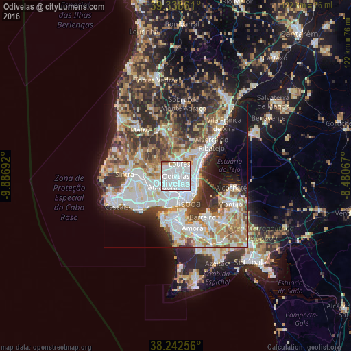
Analysis of Odivelas night lights 2016
Square area 10x10 km:
 75.68%
90-99
16.16%80-89
1.02%70-79
4.76%60-69
0.85%50-59
0.68%40-49
0.85%30-39
0%20-29
0%10-19
0%0-9
0%Square area 50x50 km:
15.58%90-99
12.94%80-89
5.35%70-79
5.56%60-69
7.92%50-59
6.64%40-49
6.24%30-39
7.71%20-29
9.94%10-19
7.9%0-9
14.22%Clear (daylight) street map image can be seen on geolist.org.
Map coordinates:
39° 20' 19" North, 9° 53' 12.9" West
38° 47' 33.7" North, 9° 11' 1.7" West
38° 14' 33.2" North, 8° 28' 50.4" West
Some cities around Odivelas sort by population:
• Loures
4.5 km =2.8 mi,  17°
17°
• Pontinha
3.1 km =1.9 mi,  205°
205°
• Ramada
1.3 km =0.8 mi,  344°
344°
• Póvoa de Santo Adrião
1.7 km =1.1 mi,  61°
61°
• Caneças
4.4 km =2.7 mi,  301°
301°
• Charneca
3.6 km =2.2 mi,  106°
106°
• Famões
2.4 km =1.5 mi,  257°
257°
• Olival do Basto
1.5 km =0.9 mi,  97°
97°
2265467 (p: 54,624)
Sources (retrieved 2019-11-25):
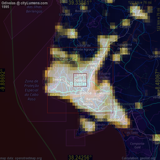
» NASA, Earths city lights 1995
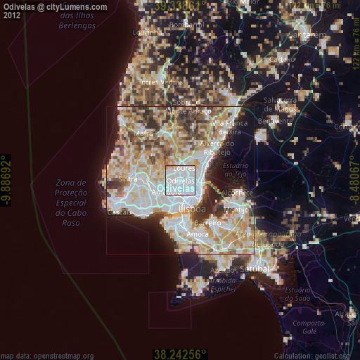
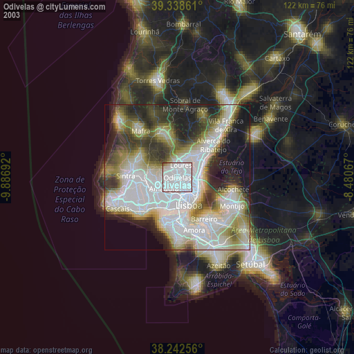
» NASA city lights 2003
» Earth at Night: Flat Maps 2012, 2016