Loures night lights from space
Night Light of Loures (Lisbon) from space (Portugal) Src. Average luminocity for 10x10km area is 89.3112% and for 50x50km: 54.2068%.
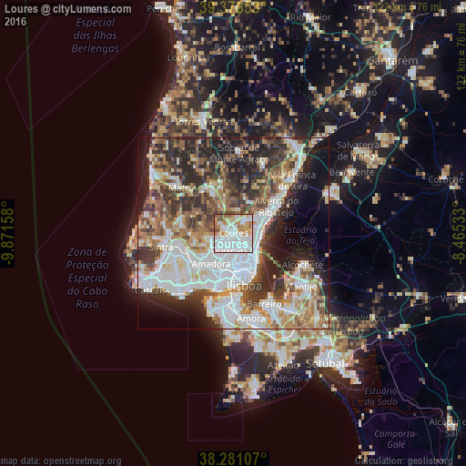
Analysis of Loures night lights 2016
Square area 10x10 km:
 43.71%
90-99
22.96%80-89
7.65%70-79
10.37%60-69
7.48%50-59
6.12%40-49
1.36%30-39
0.34%20-29
0%10-19
0%0-9
0%Square area 50x50 km:
15.31%90-99
12.16%80-89
4.96%70-79
5.08%60-69
7.53%50-59
6.98%40-49
6.58%30-39
8.65%20-29
11.76%10-19
9.73%0-9
11.28%Clear (daylight) street map image can be seen on geolist.org.
Map coordinates:
39° 22' 35.5" North, 9° 52' 17.7" West
38° 49' 51.3" North, 9° 10' 6.4" West
38° 16' 51.9" North, 8° 27' 55.2" West
Some cities around Loures sort by population:
• Odivelas
4.5 km =2.8 mi,  197°
197°
• Camarate
4.6 km =2.9 mi,  130°
130°
• Ramada
3.5 km =2.2 mi,  208°
208°
• Póvoa de Santo Adrião
3.4 km =2.1 mi,  177°
177°
• Caneças
5.4 km =3.4 mi,  248°
248°
• Unhos
4.4 km =2.7 mi,  106°
106°
• Apelação
3.7 km =2.3 mi,  121°
121°
• Olival do Basto
4.5 km =2.8 mi, 177°
2266977 (p: 66,231)
Sources (retrieved 2019-11-25):
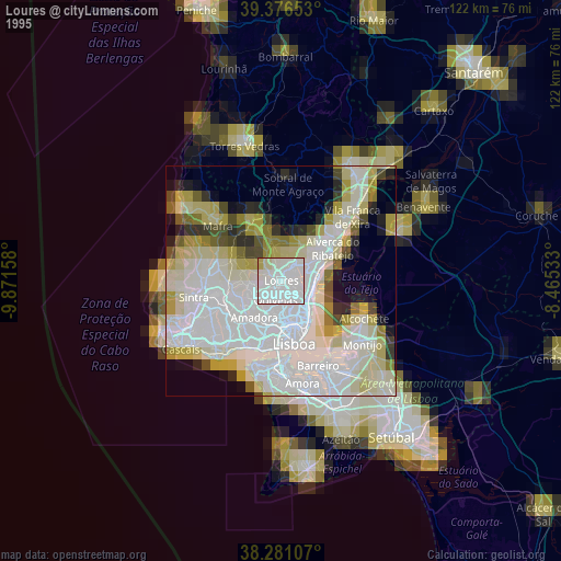
» NASA, Earths city lights 1995
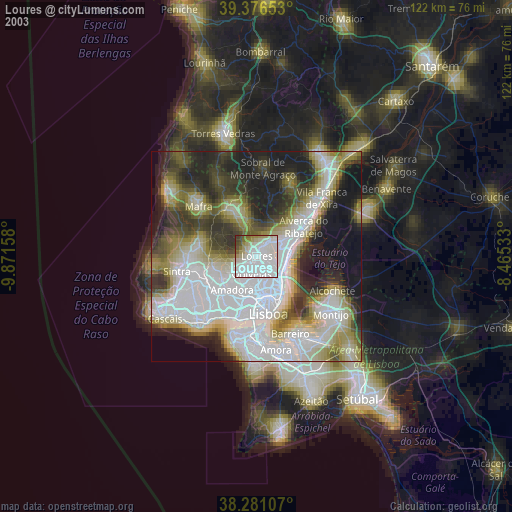
» NASA city lights 2003
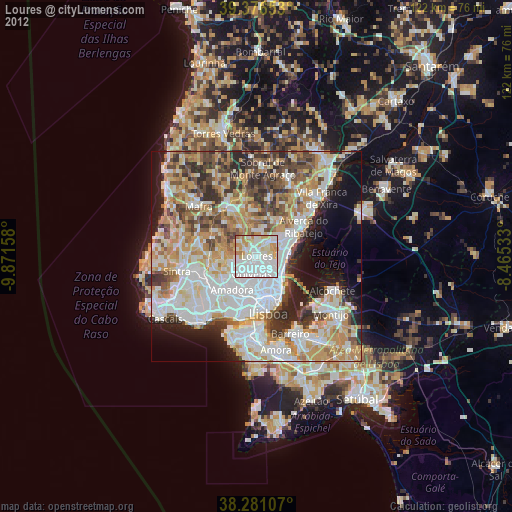
» Earth at Night: Flat Maps 2012, 2016