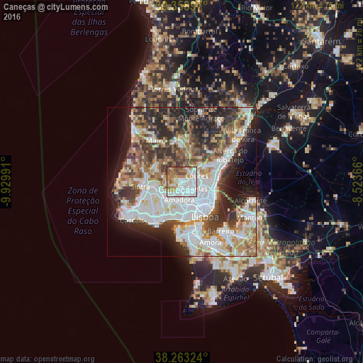
Caneças night lights from space
Night Light of Caneças (Lisbon) from space (Portugal) Src. Average luminocity for 10x10km area is 85.2857% and for 50x50km: 53.0595%.
Analysis of Caneças night lights 2016
Square area 10x10 km:
 40.31%
90-99
18.71%80-89
6.63%70-79
9.86%60-69
10.88%50-59
8.67%40-49
4.08%30-39
0.85%20-29
0%10-19
0%0-9
0%Square area 50x50 km:
15.28%90-99
12.25%80-89
4.93%70-79
4.88%60-69
7.33%50-59
6.35%40-49
6.28%30-39
8.32%20-29
10.85%10-19
9.11%0-9
14.42%Clear (daylight) street map image can be seen on geolist.org.
Map coordinates:
39° 21' 32.3" North, 9° 55' 47.7" West
38° 48' 47.6" North, 9° 13' 36.4" West
38° 15' 47.7" North, 8° 31' 25.2" West
Some cities around Caneças sort by population:
• Loures
5.4 km =3.4 mi,  68°
68°
• Odivelas
4.4 km =2.7 mi,  121°
121°
• Pontinha
5.6 km =3.5 mi,  154°
154°
• Belas
5.2 km =3.2 mi,  218°
218°
• Ramada
3.5 km =2.2 mi,  107°
107°
• Póvoa de Santo Adrião
5.4 km =3.4 mi, 105°
• Famões
3.1 km =1.9 mi, 152°
• Almargem
5.3 km =3.3 mi,  311°
311°
2270290 (p: 10,978)
Sources (retrieved 2019-11-25):
» Earth at Night: Flat Maps 2012, 2016