Montijo night lights from space
Night Light of Montijo (District of Setúbal) from space (Portugal) Src. Average luminocity for 10x10km area is 69.3759% and for 50x50km: 42.4505%.
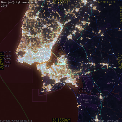
Analysis of Montijo night lights 2016
Square area 10x10 km:
 12.07%
90-99
20.41%80-89
11.73%70-79
9.69%60-69
10.71%50-59
9.52%40-49
7.82%30-39
7.14%20-29
9.01%10-19
1.87%0-9
0%Square area 50x50 km:
12.66%90-99
9.77%80-89
3.9%70-79
4.48%60-69
5.33%50-59
4.71%40-49
3.98%30-39
5.39%20-29
8.84%10-19
8.93%0-9
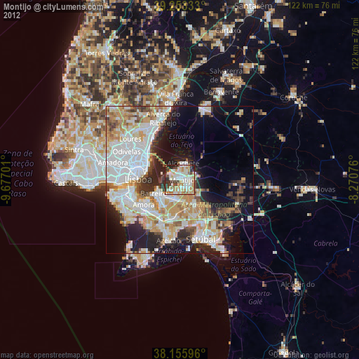
32.01%Clear (daylight) street map image can be seen on geolist.org.
Map coordinates:
39° 15' 12" North, 9° 40' 37.2" West
38° 42' 24.3" North, 8° 58' 26" West
38° 9' 21.5" North, 8° 16' 14.7" West
Some cities around Montijo sort by population:
• Barreiro
9.8 km =6.1 mi,  240°
240°
• Pinhal Novo
9.9 km =6.2 mi,  148°
148°
• Lavradio
8 km =5 mi, 237°
• Moita
6.4 km =4 mi,  192°
192°
• Alhos Vedros
7.2 km =4.5 mi,  216°
216°
• Beato António
11.6 km =7.2 mi,  284°
284°
• Santo António da Charneca
10.3 km =6.4 mi,  208°
208°
• Alcochete
5.5 km =3.4 mi,  11°
11°
2265788 (p: 30,011)
Sources (retrieved 2019-11-25):
» Earth at Night: Flat Maps 2012, 2016